UN/LOCODE hub · New Zealand
NZMTK
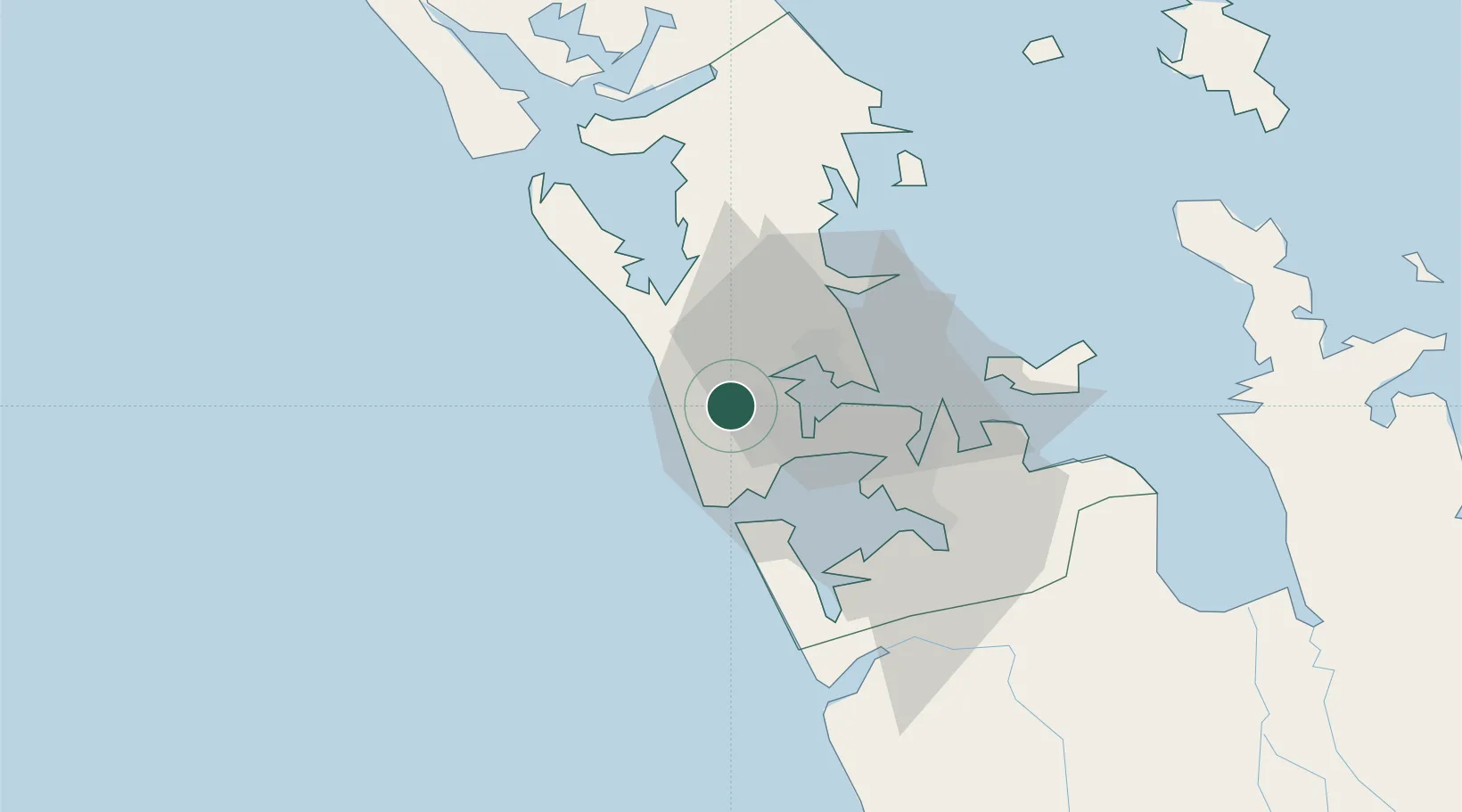
Waitakere
-36.8500°, 174.5500°
1,890
Population
1
Transport functions
Transport Functions
Multimodal
Hub Profile
Place type
Populated place
Region
Auckland
Population
1,890
Time zone
Pacific/Auckland
Elevation
83 m
Location
Nearby Logistics Neighbours
Cities
- 1Henderson6 km
- 2Kumeu9 km
- 3Kauri Point12 km
- 4Herne Bay15 km
- 5Chelsea15 km
Ports
- 1Auckland19 km
- 2Manukau Harbor23 km
- 3Whangarei117 km
- 4Tauranga168 km
- 5Opua175 km
Airports
- 1RNZAF Base Auckland-Whenuapai10 km
- 2Auckland International Airport28 km
- 3Ardmore Airport43 km
- 4Great Barrier Aerodrome107 km
- 5Okiwi Station Airport110 km
Trade Zones
- 1Hicks Bay Area Special Economic Zone328 km
- 2Rotuma-Kadavu Tax-Free Region2114 km
- 3Kalabu Tax Free Zone2121 km
- 4Nausori-Ba Tax-Free Region2129 km
- 5Lautoka Special Zone2157 km
DatabookThe Record of Consolidated Knowledge
New Zealand beyond logistics?