UN/LOCODE hub · New Zealand
NZHDS
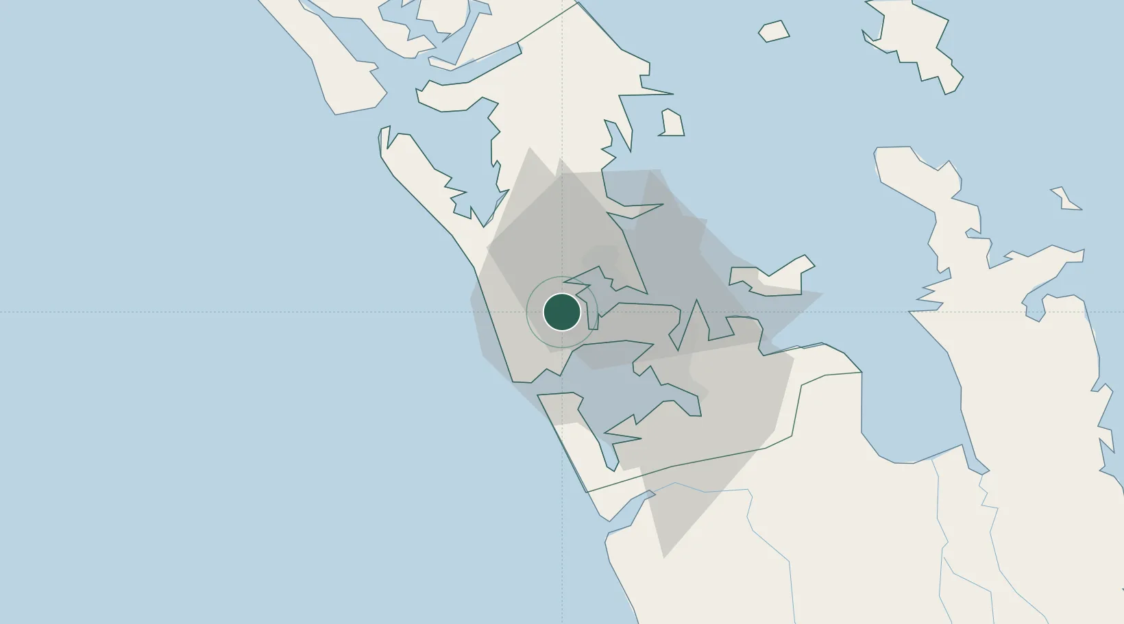
Henderson
-36.8667°, 174.6167°
18,770
Population
2
Transport functions
Transport Functions
Rail
Road
Hub Profile
Place type
Urban district
Region
Auckland
Population
18,770
Time zone
Pacific/Auckland
Elevation
13 m
Location
Nearby Logistics Neighbours
Cities
- 1Waitakere6 km
- 2Kauri Point8 km
- 3Herne Bay10 km
- 4Chelsea11 km
- 5Kumeu12 km
Ports
- 1Auckland14 km
- 2Manukau Harbor17 km
- 3Whangarei120 km
- 4Tauranga162 km
- 5Opua178 km
Airports
- 1RNZAF Base Auckland-Whenuapai9 km
- 2Auckland International Airport22 km
- 3Ardmore Airport37 km
- 4Great Barrier Aerodrome103 km
- 5Okiwi Station Airport108 km
Trade Zones
- 1Hicks Bay Area Special Economic Zone322 km
- 2Rotuma-Kadavu Tax-Free Region2115 km
- 3Kalabu Tax Free Zone2122 km
- 4Nausori-Ba Tax-Free Region2130 km
- 5Lautoka Special Zone2158 km
DatabookThe Record of Consolidated Knowledge
New Zealand beyond logistics?