UN/LOCODE hub · Norway
NOYTO

Ytrøy

61.0833°, 4.6833°
1
Transport functions

Transport Functions

Port
UN/LOCODE

Hub Profile

Region
14
GeoNames

Location

Location of NOYTO
Natural Earth 10m (public domain) · 14 · NOYTO · 61.08, 4.68GoogleOSMYandex

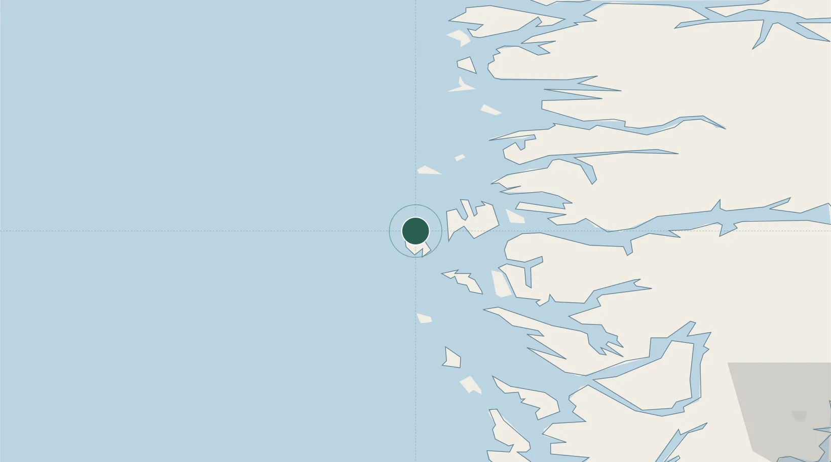
Nearby Logistics Neighbours

Cities
  1. 1Solund8 km
  2. 2Kollsnes Øst21 km
  3. 3Byrknesøy22 km
  4. 4Lutelandet24 km
  5. 5Eivindvik24 km
Nearest neighbours — logibook spatial index (haversine) over the source coordinates
Ports
  1. 1Mongstad34 km
  2. 2Stura52 km
  3. 3Floro61 km
  4. 4Bergen83 km
  5. 5Brattholmen86 km
Nearest neighbours — logibook spatial index (haversine) over the source coordinates
Airports
  1. 1Florø Airport59 km
  2. 2Førde Airport, Bringeland67 km
  3. 3Bergen Airport, Flesland93 km
  4. 4Sandane Airport, Anda112 km
  5. 5Sogndal Airport, Haukåsen132 km
Nearest neighbours — logibook spatial index (haversine) over the source coordinates
Trade Zones
  1. 1Gothenburg Boundless Customs Warehouse551 km
  2. 2Freeport of Copenhagen- Nordhavn753 km
  3. 3North Eastern Enterprise Zone774 km
  4. 4MTS Malmö Transport and Spedition781 km
  5. 5Tees Valley Enterprise Zone799 km
Nearest neighbours — logibook spatial index (haversine) over the source coordinates
DatabookThe Record of Consolidated Knowledge
Norway beyond logistics?
Browse databook

All Sources

LocationsUN/LOCODE
UN/LOCODE — free
Portsthe NGA World Port Index
Public domain (US gov)
AirportsOurAirports
Public domain
Trade Zonesthe World Bank SEZ database
CC BY 4.0
Trade ZonesOpen Zone Map
CC BY
← Norway locations