UN/LOCODE hub · Norway
NOSLD

Solund

61.0667°, 4.8333°
1
Transport functions

Transport Functions

Port
UN/LOCODE

Hub Profile

Region
14
GeoNames

Location

Location of NOSLD
Natural Earth 10m (public domain) · 14 · NOSLD · 61.07, 4.83GoogleOSMYandex

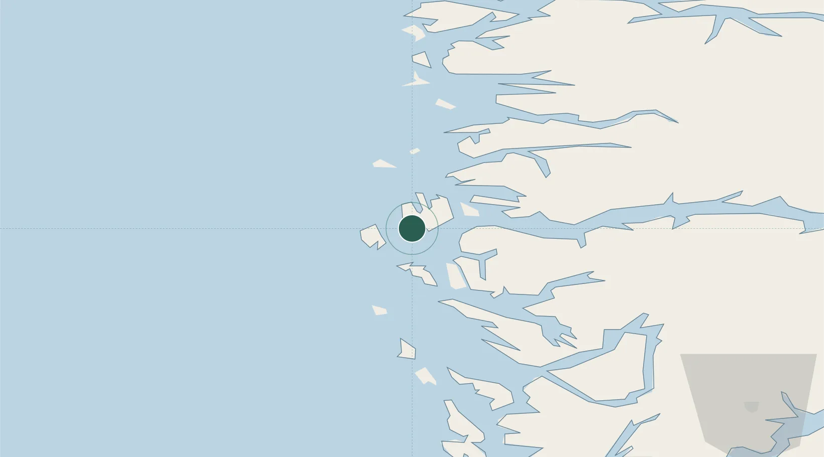
Nearby Logistics Neighbours

Cities
  1. 1Ytrøy8 km
  2. 2Eivindvik16 km
  3. 3Kollsnes Øst17 km
  4. 4Byrknesøy19 km
  5. 5Rutledal21 km
Nearest neighbours — logibook spatial index (haversine) over the source coordinates
Ports
  1. 1Mongstad28 km
  2. 2Stura49 km
  3. 3Floro61 km
  4. 4Bergen78 km
  5. 5Vaksdal82 km
Nearest neighbours — logibook spatial index (haversine) over the source coordinates
Airports
  1. 1Florø Airport58 km
  2. 2Førde Airport, Bringeland61 km
  3. 3Bergen Airport, Flesland89 km
  4. 4Sandane Airport, Anda109 km
  5. 5Sogndal Airport, Haukåsen124 km
Nearest neighbours — logibook spatial index (haversine) over the source coordinates
Trade Zones
  1. 1Gothenburg Boundless Customs Warehouse543 km
  2. 2Freeport of Copenhagen- Nordhavn747 km
  3. 3MTS Malmö Transport and Spedition774 km
  4. 4North Eastern Enterprise Zone777 km
  5. 5Tees Valley Enterprise Zone802 km
Nearest neighbours — logibook spatial index (haversine) over the source coordinates
DatabookThe Record of Consolidated Knowledge
Norway beyond logistics?
Browse databook

All Sources

LocationsUN/LOCODE
UN/LOCODE — free
Portsthe NGA World Port Index
Public domain (US gov)
AirportsOurAirports
Public domain
Trade Zonesthe World Bank SEZ database
CC BY 4.0
Trade ZonesOpen Zone Map
CC BY
← Norway locations