Transport Functions
Port
Road
Hub Profile
Place type
Provincial seat
Region
Vestland
Time zone
Europe/Oslo
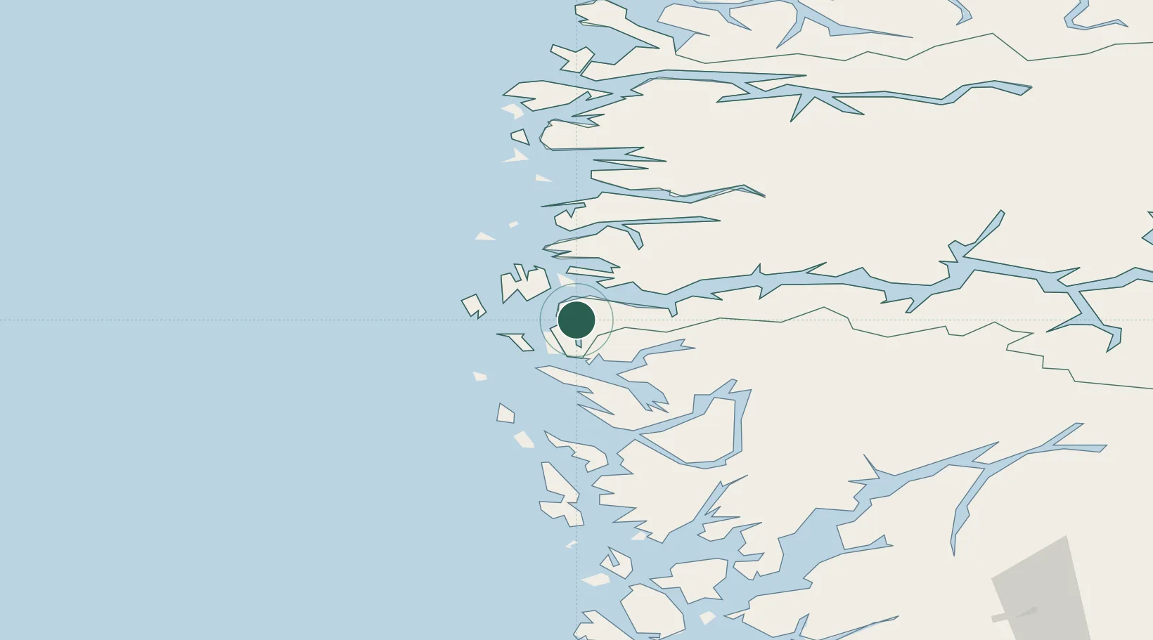
Location
Nearby Logistics Neighbours
Cities
- 1Rutledal12 km
- 2Kollsnes Øst13 km
- 3Sløvåg15 km
- 4Skipavik - Gulen15 km
- 5Solund16 km
Airports
- 1Førde Airport, Bringeland58 km
- 2Florø Airport67 km
- 3Bergen Airport, Flesland77 km
- 4Sandane Airport, Anda109 km
- 5Sogndal Airport, Haukåsen112 km
Trade Zones
DatabookThe Record of Consolidated Knowledge
Norway beyond logistics?