Transport Functions
Rail
Road
Hub Profile
Place type
Provincial seat
Region
Innlandet
Population
2,924
Time zone
Europe/Oslo
Elevation
180 m
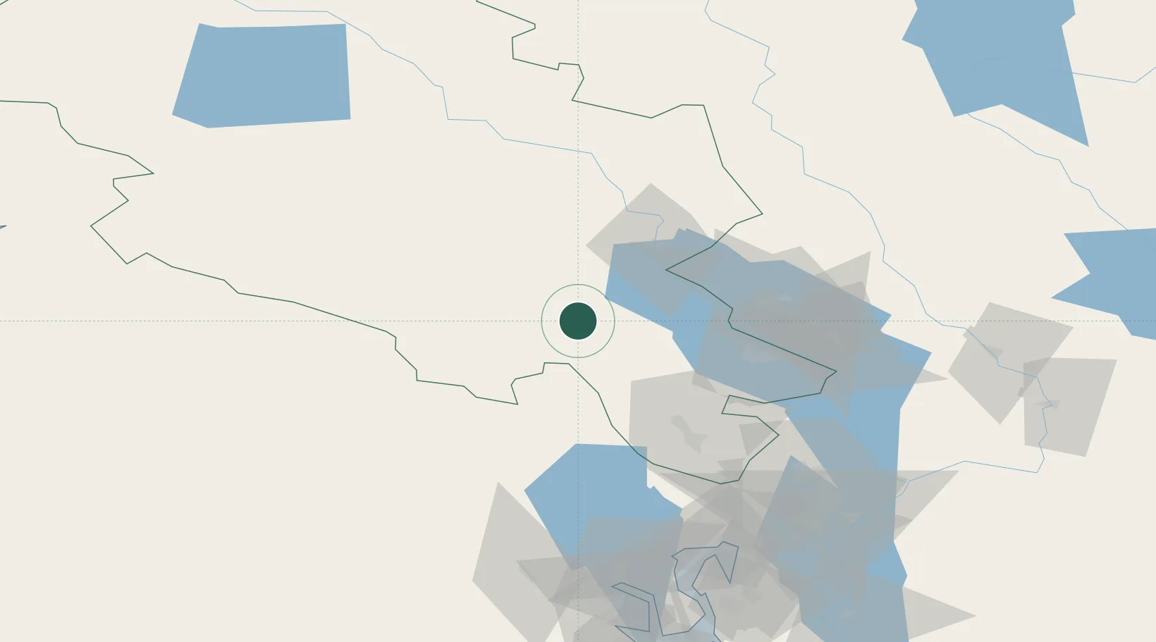
Location
Nearby Logistics Neighbours
Cities
- 1Brumunddal45 km
- 2Sokna65 km
- 3Løten67 km
- 4Espa71 km
- 5Hønefoss75 km
Ports
- 1Oslo110 km
- 2Drammen123 km
- 3Fagerstrand125 km
- 4Drobak134 km
- 5Svelvik136 km
Airports
- 1Oslo-Gardermoen International Airport90 km
- 2Notodden Airport149 km
- 3Scandinavian Mountains Airport153 km
- 4Moss Airport, Rygge166 km
- 5Torsby Airport176 km
Trade Zones
DatabookThe Record of Consolidated Knowledge
Norway beyond logistics?