Transport Functions
Port
Hub Profile
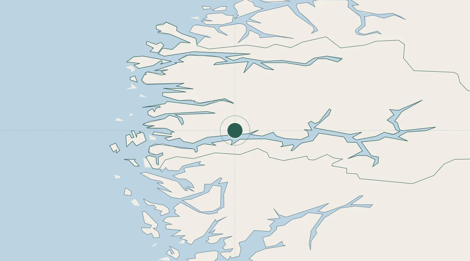
Place type
Populated place
Region
Vestland
Time zone
Europe/Oslo
Elevation
30 m
Location
Nearby Logistics Neighbours
Cities
- 1Høyanger13 km
- 2Bjordal13 km
- 3Ortnevik20 km
- 4Bygstad22 km
- 5Leirvik i Hyllestad28 km
Airports
- 1Førde Airport, Bringeland22 km
- 2Florø Airport60 km
- 3Sogndal Airport, Haukåsen71 km
- 4Sandane Airport, Anda72 km
- 5Bergen Airport, Flesland106 km
Trade Zones
DatabookThe Record of Consolidated Knowledge
Norway beyond logistics?