Transport Functions
Port
Hub Profile
Place type
Populated place
Region
Vestland
Time zone
Europe/Oslo
Elevation
60 m
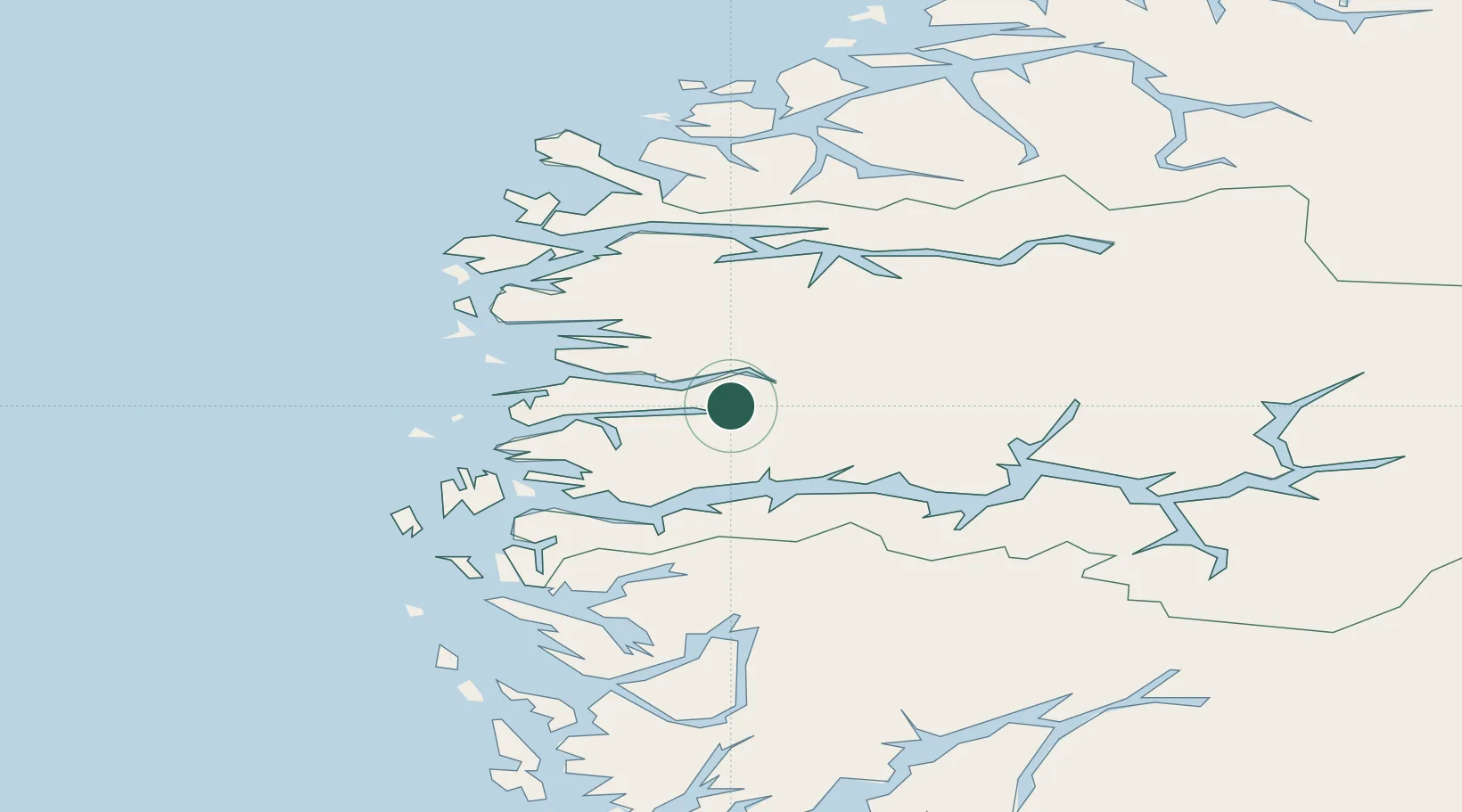
Location
Nearby Logistics Neighbours
Airports
- 1Førde Airport, Bringeland5 km
- 2Florø Airport41 km
- 3Sandane Airport, Anda55 km
- 4Sogndal Airport, Haukåsen83 km
- 5Ørsta-Volda Airport, Hovden91 km
Trade Zones
DatabookThe Record of Consolidated Knowledge
Norway beyond logistics?