Transport Functions
Port
Road
Hub Profile
Region
14
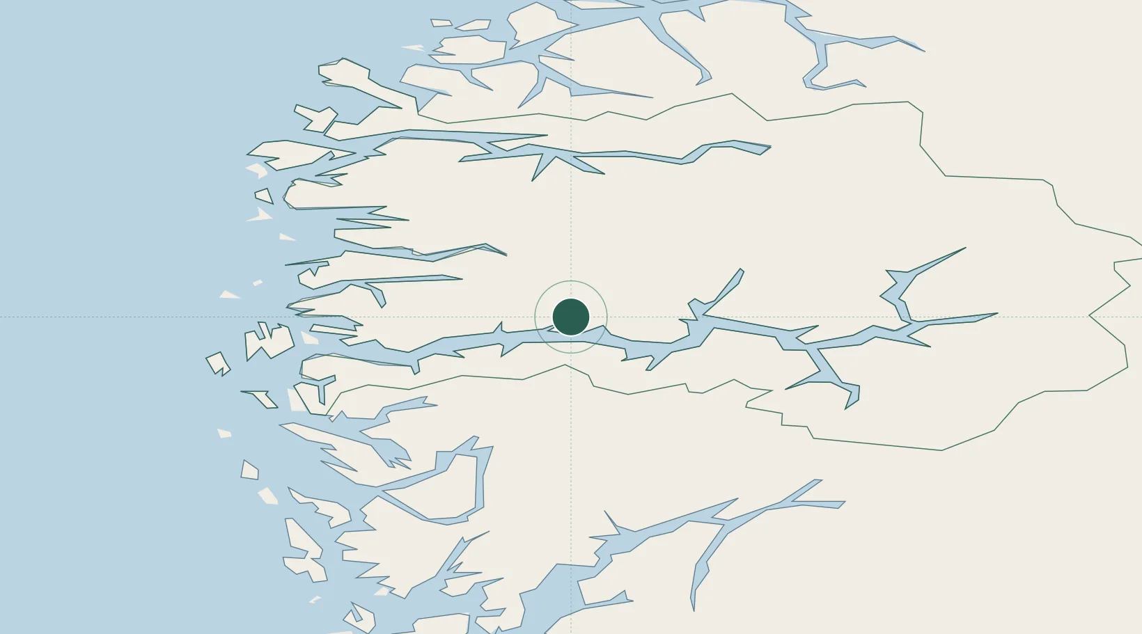
Location
Nearby Logistics Neighbours
Cities
- 1Vadheim13 km
- 2Ortnevik14 km
- 3Bjordal19 km
- 4Balestrand26 km
- 5Bygstad28 km
Ports
- 1Floro69 km
- 2Mongstad69 km
- 3Vaksdal84 km
- 4Ardalstangen88 km
- 5Stura92 km
Airports
- 1Førde Airport, Bringeland25 km
- 2Sogndal Airport, Haukåsen59 km
- 3Florø Airport68 km
- 4Sandane Airport, Anda68 km
- 5Ørsta-Volda Airport, Hovden107 km
Trade Zones
- 1Gothenburg Boundless Customs Warehouse508 km
- 2Jönköping Free Zone594 km
- 3Freeport of Copenhagen- Nordhavn720 km
- 4MTS Malmö Transport and Spedition746 km
- 5Freeport of Kiel803 km
DatabookThe Record of Consolidated Knowledge
Norway beyond logistics?