Transport Functions
Port
Hub Profile
Place type
Populated place
Region
Vestland
Time zone
Europe/Oslo
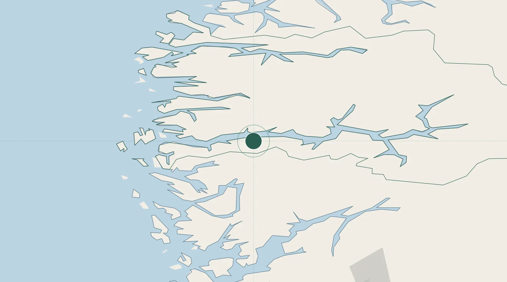
Location
Nearby Logistics Neighbours
Cities
- 1Vadheim13 km
- 2Ortnevik16 km
- 3Høyanger19 km
- 4Brekke21 km
- 5Matre - Masfjorden27 km
Airports
- 1Førde Airport, Bringeland35 km
- 2Florø Airport70 km
- 3Sogndal Airport, Haukåsen71 km
- 4Sandane Airport, Anda84 km
- 5Bergen Airport, Flesland94 km
Trade Zones
DatabookThe Record of Consolidated Knowledge
Norway beyond logistics?