UN/LOCODE hub · Norway
NOLEA

Leirvik i Hyllestad

61.1167°, 5.3333°
1
Transport functions

Transport Functions

Port
UN/LOCODE

Hub Profile

Region
14
GeoNames

Location

Location of NOLEA
Natural Earth 10m (public domain) · 14 · NOLEA · 61.12, 5.33GoogleOSMYandex

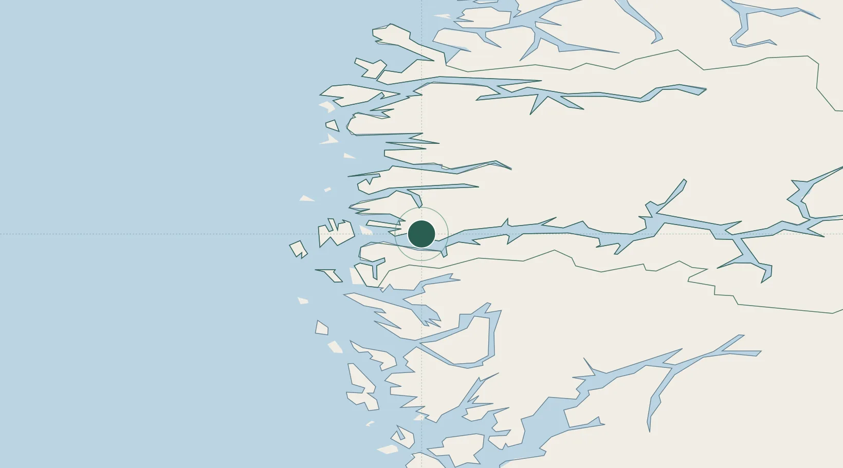
Nearby Logistics Neighbours

Cities
  1. 1Hyllestad6 km
  2. 2Listraumen7 km
  3. 3Rutledal8 km
  4. 4Brekke13 km
  5. 5Eivindvik20 km
Nearest neighbours — logibook spatial index (haversine) over the source coordinates
Ports
  1. 1Mongstad36 km
  2. 2Floro57 km
  3. 3Stura61 km
  4. 4Vaksdal74 km
  5. 5Bergen79 km
Nearest neighbours — logibook spatial index (haversine) over the source coordinates
Airports
  1. 1Førde Airport, Bringeland38 km
  2. 2Florø Airport55 km
  3. 3Sandane Airport, Anda89 km
  4. 4Bergen Airport, Flesland92 km
  5. 5Sogndal Airport, Haukåsen97 km
Nearest neighbours — logibook spatial index (haversine) over the source coordinates
Trade Zones
  1. 1Gothenburg Boundless Customs Warehouse527 km
  2. 2Freeport of Copenhagen- Nordhavn734 km
  3. 3MTS Malmö Transport and Spedition761 km
  4. 4North Eastern Enterprise Zone796 km
  5. 5Freeport of Kiel807 km
Nearest neighbours — logibook spatial index (haversine) over the source coordinates
DatabookThe Record of Consolidated Knowledge
Norway beyond logistics?
Browse databook

All Sources

LocationsUN/LOCODE
UN/LOCODE — free
Portsthe NGA World Port Index
Public domain (US gov)
AirportsOurAirports
Public domain
Trade Zonesthe World Bank SEZ database
CC BY 4.0
Trade ZonesOpen Zone Map
CC BY
← Norway locations