Transport Functions
Port
Road
Hub Profile
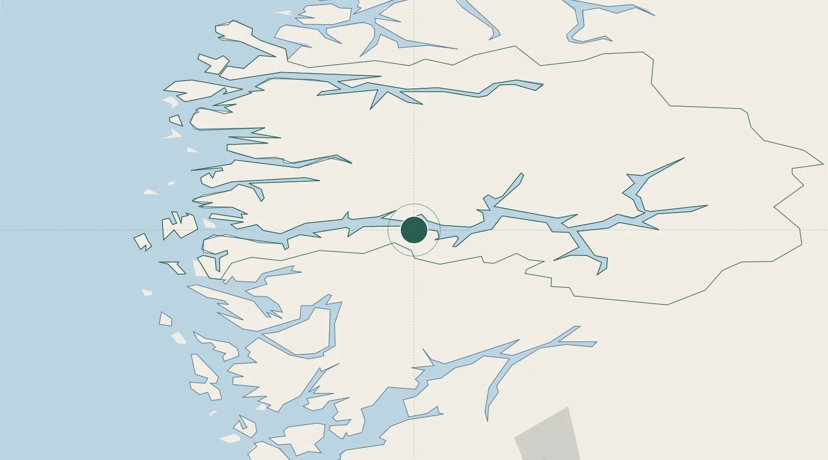
Place type
Populated place
Region
Vestland
Time zone
Europe/Oslo
Elevation
175 m
Location
Nearby Logistics Neighbours
Cities
- 1Høyanger14 km
- 2Bjordal16 km
- 3Arnafjord16 km
- 4Vadheim20 km
- 5Balestrand24 km
Ports
- 1Mongstad66 km
- 2Vaksdal73 km
- 3Floro81 km
- 4Norheimsund82 km
- 5Ardalstangen85 km
Airports
- 1Førde Airport, Bringeland38 km
- 2Sogndal Airport, Haukåsen54 km
- 3Florø Airport80 km
- 4Sandane Airport, Anda81 km
- 5Bergen Airport, Flesland103 km
Trade Zones
- 1Gothenburg Boundless Customs Warehouse495 km
- 2Jönköping Free Zone582 km
- 3Freeport of Copenhagen- Nordhavn707 km
- 4MTS Malmö Transport and Spedition733 km
- 5Freeport of Kiel789 km
DatabookThe Record of Consolidated Knowledge
Norway beyond logistics?