Transport Functions
Port
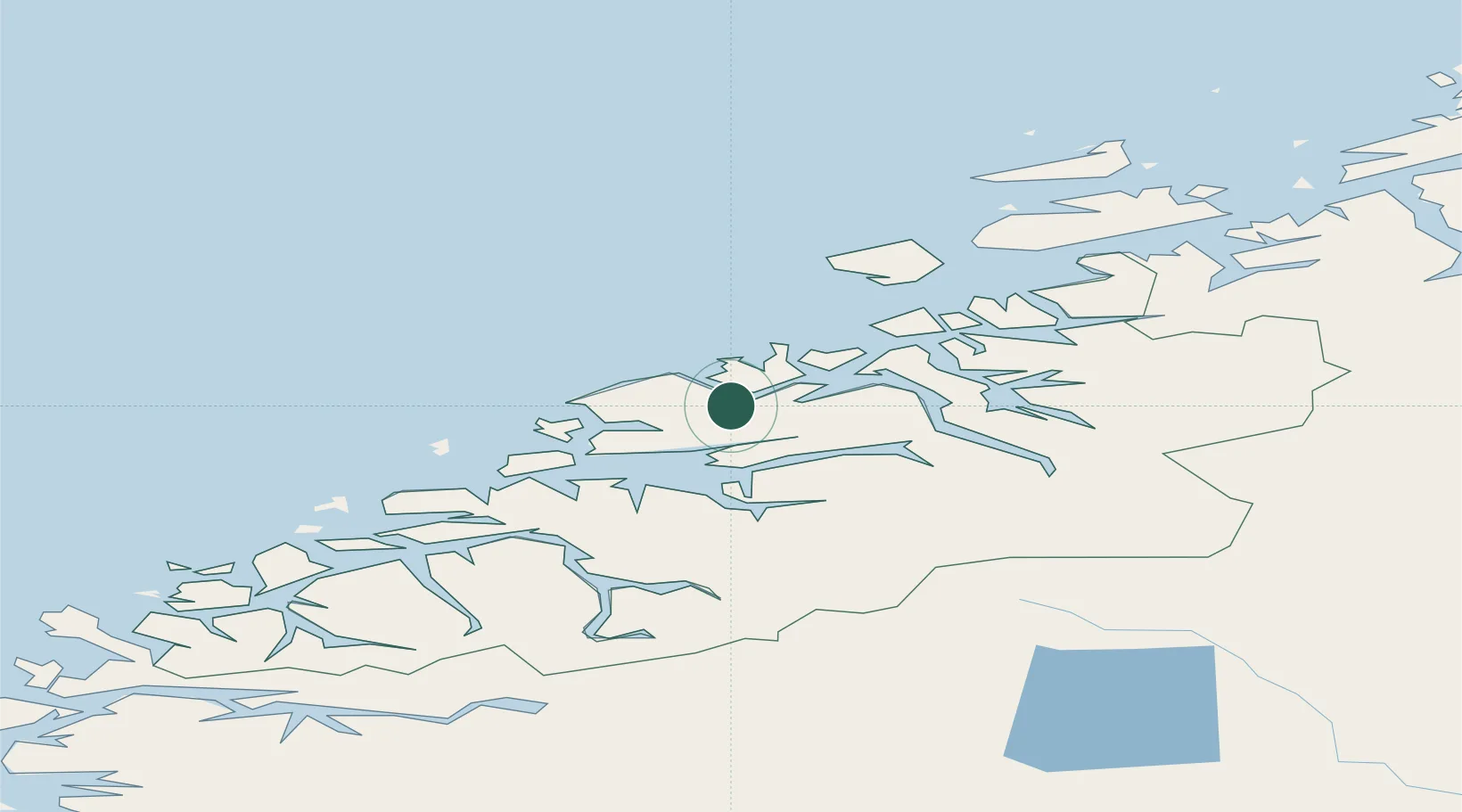
Hub Profile
Place type
Populated place
Region
Møre og Romsdal
Population
1,155
Time zone
Europe/Oslo
Elevation
10 m
Location
Nearby Logistics Neighbours
Cities
- 1Ramsvika6 km
- 2Visnes - Eide6 km
- 3Hjelset13 km
- 4Gjemnes16 km
- 5Elnesvågen17 km
Ports
- 1Molde24 km
- 2Haroysund25 km
- 3Kristiansund28 km
- 4Andalsnes39 km
- 5Sunndalsora61 km
Airports
- 1Molde Airport, Årø20 km
- 2Kristiansund Airport, Kvernberget30 km
- 3Ålesund Airport78 km
- 4Ørsta-Volda Airport, Hovden107 km
- 5Sandane Airport, Anda138 km
Trade Zones
- 1Gothenburg Boundless Customs Warehouse625 km
- 2Jönköping Free Zone677 km
- 3Freeport of Copenhagen- Nordhavn850 km
- 4MTS Malmö Transport and Spedition871 km
- 5Freeport of Kiel965 km
DatabookThe Record of Consolidated Knowledge
Norway beyond logistics?