Transport Functions
Rail
Road
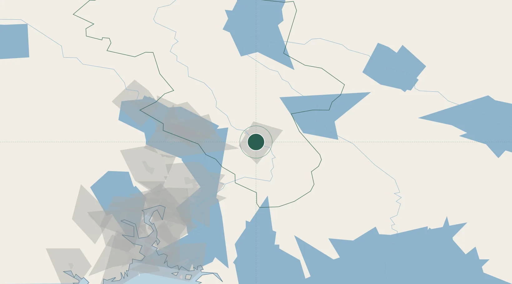
Hub Profile
Place type
Provincial seat
Region
Innlandet
Population
1,145
Time zone
Europe/Oslo
Elevation
180 m
Location
Nearby Logistics Neighbours
Ports
- 1Oslo104 km
- 2Fagerstrand125 km
- 3Drobak130 km
- 4Drammen136 km
- 5Svelvik141 km
Airports
- 1Oslo-Gardermoen International Airport66 km
- 2Scandinavian Mountains Airport77 km
- 3Torsby Airport85 km
- 4Hagfors Airport120 km
- 5Moss Airport, Rygge155 km
Trade Zones
DatabookThe Record of Consolidated Knowledge
Norway beyond logistics?