Transport Functions
Rail
Road
Hub Profile
Place type
Locality
Region
Innlandet
Time zone
Europe/Oslo
Elevation
240 m
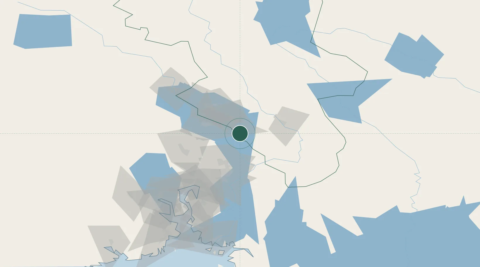
Location
Nearby Logistics Neighbours
Cities
- 1Løten28 km
- 2Våler33 km
- 3Siggerud34 km
- 4Brumunddal38 km
- 5Flisa42 km
Ports
- 1Oslo80 km
- 2Fagerstrand100 km
- 3Drobak107 km
- 4Drammen108 km
- 5Svelvik115 km
Airports
- 1Oslo-Gardermoen International Airport42 km
- 2Torsby Airport105 km
- 3Scandinavian Mountains Airport108 km
- 4Moss Airport, Rygge135 km
- 5Hagfors Airport141 km
Trade Zones
DatabookThe Record of Consolidated Knowledge
Norway beyond logistics?