Transport Functions
Rail
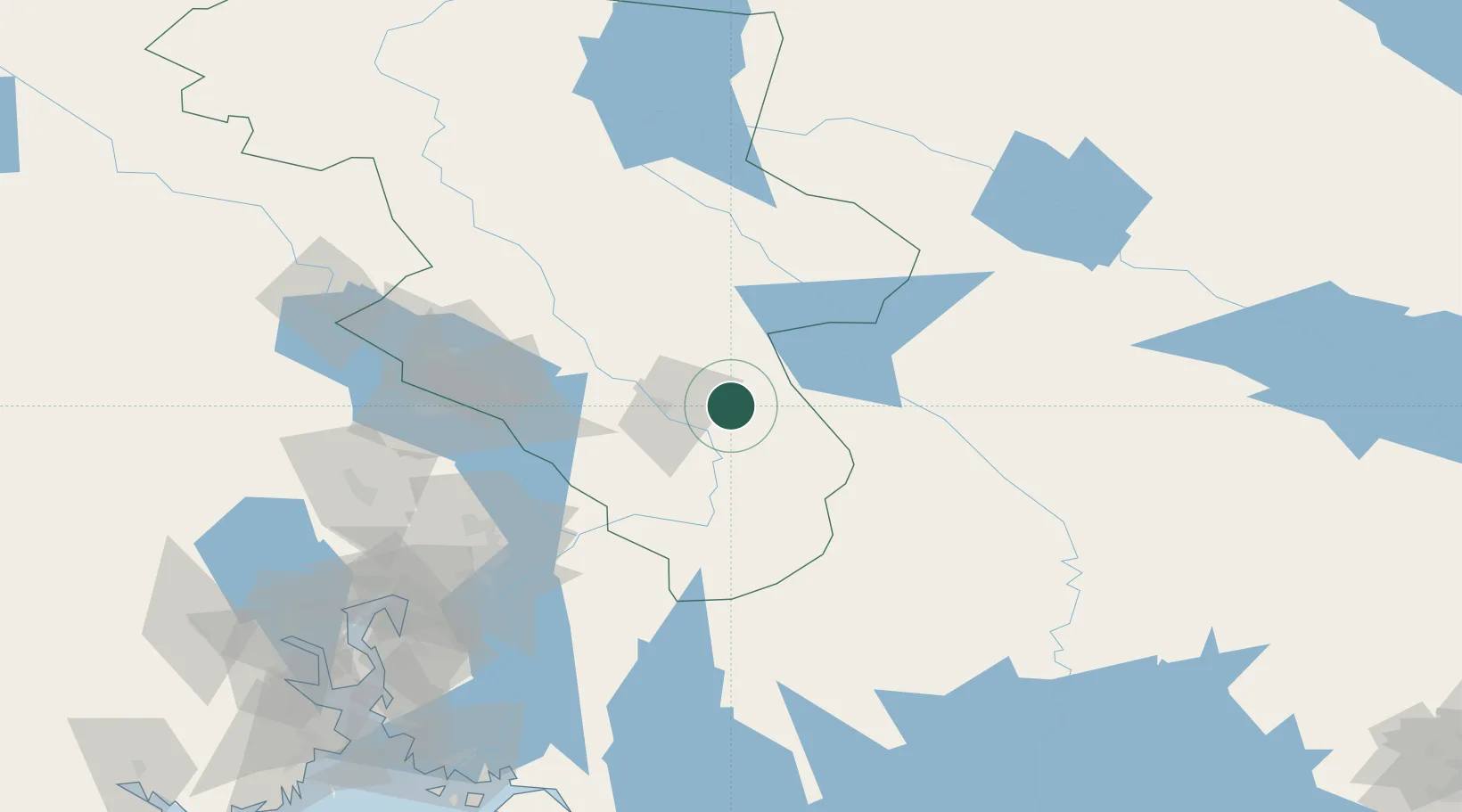
Hub Profile
Place type
Populated place
Region
Innlandet
Time zone
Europe/Oslo
Elevation
233 m
Location
Nearby Logistics Neighbours
Ports
- 1Oslo116 km
- 2Fagerstrand136 km
- 3Drobak142 km
- 4Drammen148 km
- 5Svelvik152 km
Airports
- 1Scandinavian Mountains Airport65 km
- 2Torsby Airport78 km
- 3Oslo-Gardermoen International Airport79 km
- 4Hagfors Airport111 km
- 5Mora Airport134 km
Trade Zones
DatabookThe Record of Consolidated Knowledge
Norway beyond logistics?