Medium airport · Sweden
Torsby AirportESST
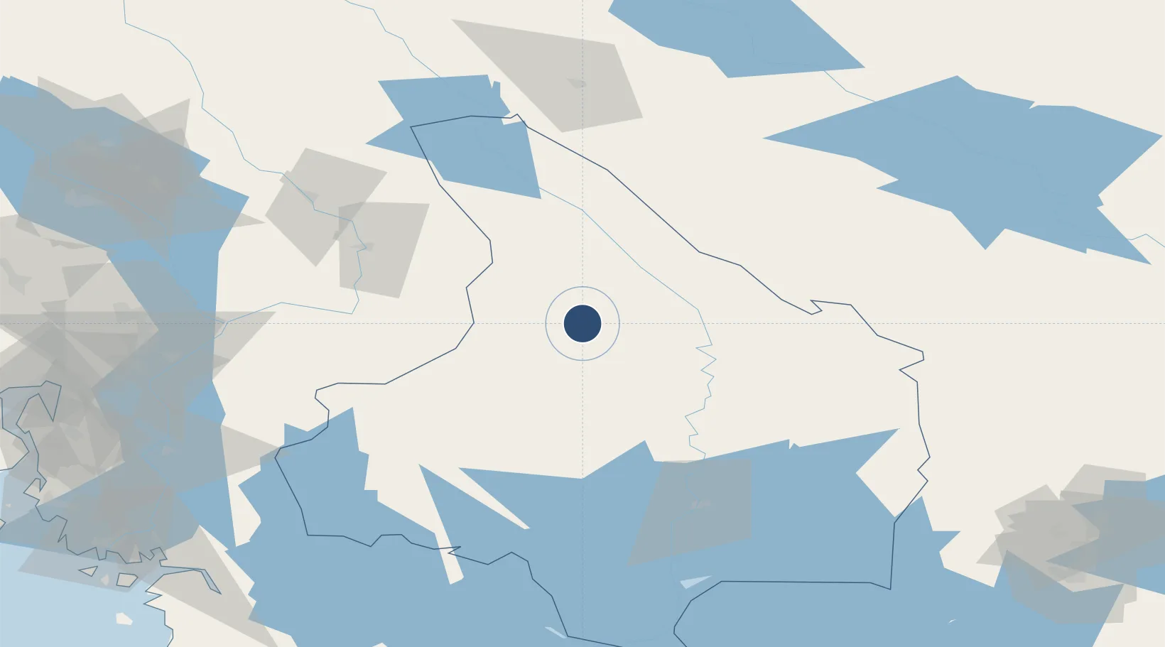
60.1576°, 12.9913°
5,219 ft
Longest runway
1
Runways
393 ft
Elevation
Runway & Layout

Radio Frequencies
AFIS
122.05 MHz
Runways · 1
| Runway | Dimensions | Surface | True heading | Lit |
|---|---|---|---|---|
| 16/34 | 5,219 × 95ft | Asphalt | 158° | ✓ |
Airport Specifications
IATA code
TYF
ICAO code
ESST
Airport class
Medium airport
Scheduled service
Yes
Runway surface
Asphalt
Served city
Torsby
Location
Nearby Logistics Neighbours
Airports
- 1Hagfors Airport36 km
- 2Karlstad Airport82 km
- 3Oslo-Gardermoen International Airport105 km
- 4Scandinavian Mountains Airport112 km
- 5Mora Airport122 km
Ports
- 1Oslo128 km
- 2Fagerstrand142 km
- 3Drobak143 km
- 4Sarpsborg145 km
- 5Halden147 km
Trade Zones
DatabookThe Record of Consolidated Knowledge
Sweden beyond logistics?