Transport Functions
Rail
Road
Hub Profile
Place type
Provincial seat
Region
Innlandet
Time zone
Europe/Oslo
Elevation
180 m
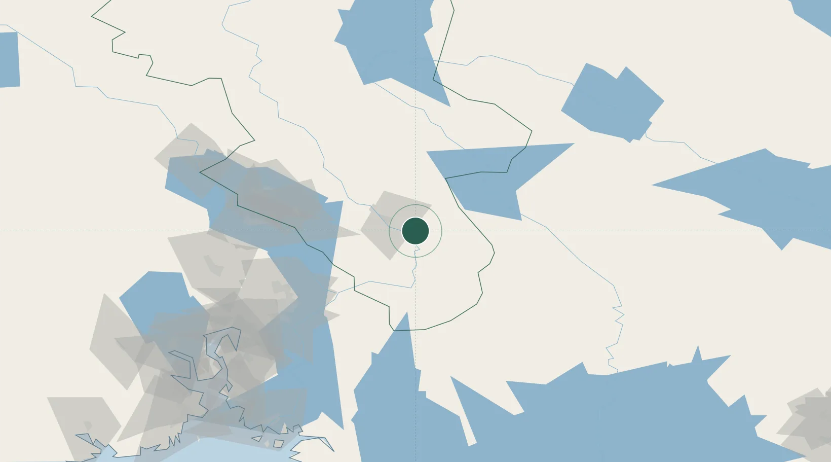
Location
Nearby Logistics Neighbours
Ports
- 1Oslo107 km
- 2Fagerstrand127 km
- 3Drobak132 km
- 4Drammen139 km
- 5Svelvik143 km
Airports
- 1Oslo-Gardermoen International Airport70 km
- 2Torsby Airport73 km
- 3Scandinavian Mountains Airport75 km
- 4Hagfors Airport108 km
- 5Mora Airport140 km
Trade Zones
DatabookThe Record of Consolidated Knowledge
Norway beyond logistics?