Transport Functions
Rail
Road
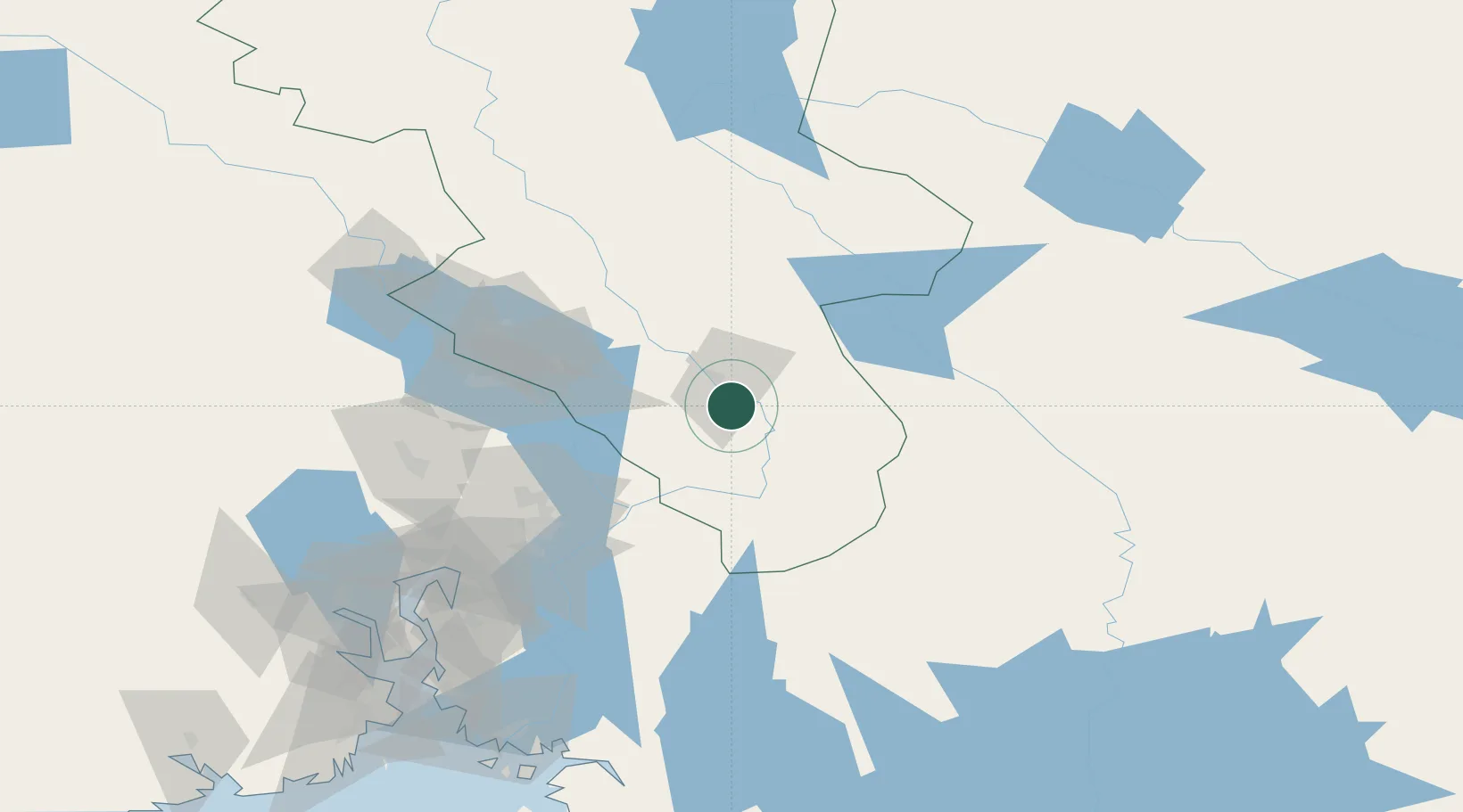
Hub Profile
Place type
Populated place
Region
Innlandet
Time zone
Europe/Oslo
Elevation
270 m
Location
Nearby Logistics Neighbours
Ports
- 1Oslo99 km
- 2Fagerstrand119 km
- 3Drobak124 km
- 4Drammen131 km
- 5Svelvik135 km
Airports
- 1Oslo-Gardermoen International Airport61 km
- 2Torsby Airport77 km
- 3Scandinavian Mountains Airport83 km
- 4Hagfors Airport113 km
- 5Moss Airport, Rygge147 km
Trade Zones
DatabookThe Record of Consolidated Knowledge
Norway beyond logistics?