Transport Functions
Port
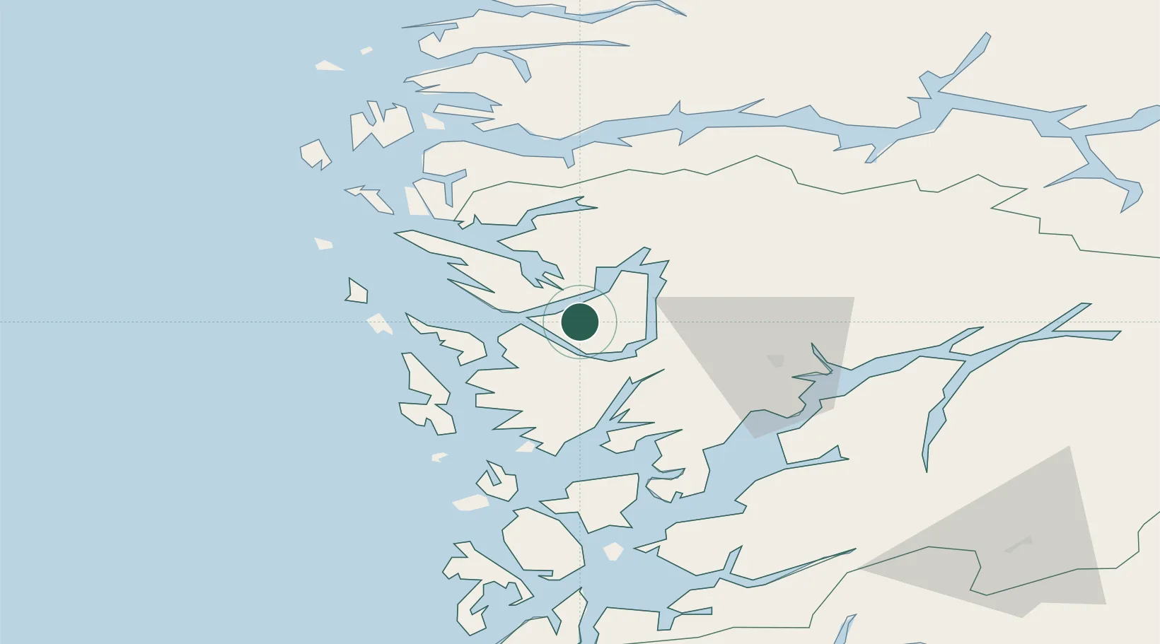
Hub Profile
Place type
Provincial seat
Region
Vestland
Population
874
Time zone
Europe/Oslo
Elevation
100 m
Location
Nearby Logistics Neighbours
Ports
- 1Vaksdal15 km
- 2Bergen18 km
- 3Haakonsvern26 km
- 4Brattholmen27 km
- 5Stura35 km
Airports
- 1Bergen Airport, Flesland30 km
- 2Stord Airport, Sørstokken83 km
- 3Førde Airport, Bringeland97 km
- 4Sogndal Airport, Haukåsen113 km
- 5Florø Airport119 km
Trade Zones
DatabookThe Record of Consolidated Knowledge
Norway beyond logistics?