UN/LOCODE hub · Norway
NOTSB

Tyssebotn

60.6167°, 5.5833°
1
Transport functions

Transport Functions

Port
UN/LOCODE

Hub Profile

Region
12
GeoNames

Location

Location of NOTSB
Natural Earth 10m (public domain) · 12 · NOTSB · 60.62, 5.58GoogleOSMYandex

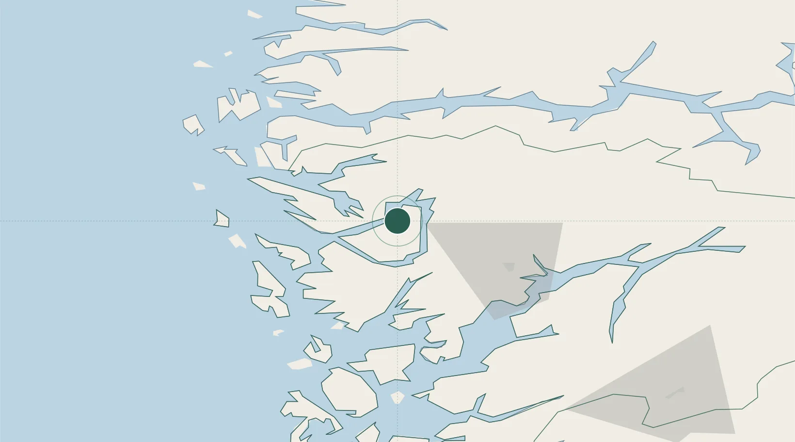
Nearby Logistics Neighbours

Cities
  1. 1Eidsnes9 km
  2. 2Eikefet9 km
  3. 3Lonevåg11 km
  4. 4Stanghelle11 km
  5. 5Eidslandet16 km
Nearest neighbours — logibook spatial index (haversine) over the source coordinates
Ports
  1. 1Vaksdal17 km
  2. 2Bergen28 km
  3. 3Haakonsvern37 km
  4. 4Brattholmen37 km
  5. 5Mongstad38 km
Nearest neighbours — logibook spatial index (haversine) over the source coordinates
Airports
  1. 1Bergen Airport, Flesland41 km
  2. 2Førde Airport, Bringeland87 km
  3. 3Stord Airport, Sørstokken93 km
  4. 4Sogndal Airport, Haukåsen103 km
  5. 5Florø Airport112 km
Nearest neighbours — logibook spatial index (haversine) over the source coordinates
Trade Zones
  1. 1Gothenburg Boundless Customs Warehouse480 km
  2. 2Freeport of Copenhagen- Nordhavn682 km
  3. 3MTS Malmö Transport and Spedition710 km
  4. 4Freeport of Kiel750 km
  5. 5North Eastern Enterprise Zone759 km
Nearest neighbours — logibook spatial index (haversine) over the source coordinates
DatabookThe Record of Consolidated Knowledge
Norway beyond logistics?
Browse databook

All Sources

LocationsUN/LOCODE
UN/LOCODE — free
Portsthe NGA World Port Index
Public domain (US gov)
AirportsOurAirports
Public domain
Trade Zonesthe World Bank SEZ database
CC BY 4.0
Trade ZonesOpen Zone Map
CC BY
← Norway locations