Transport Functions
Port
Hub Profile
Place type
Populated place
Region
Troms
Time zone
Europe/Oslo
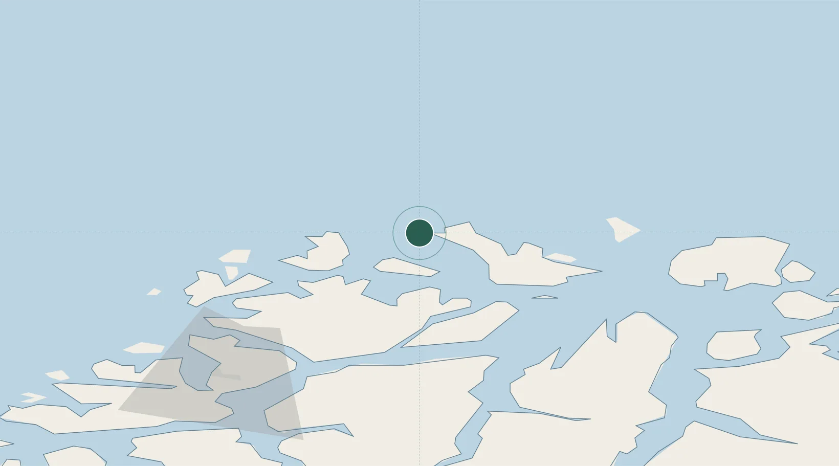
Location
Nearby Logistics Neighbours
Cities
- 1Vannavalen23 km
- 2Kristoffervalen24 km
- 3Dåfjord30 km
- 4Hansnes32 km
- 5Stakkvik34 km
Airports
- 1Tromsø Airport67 km
- 2Sørkjosen Airport76 km
- 3Hasvik Airport102 km
- 4Bardufoss Airport138 km
- 5Alta Airport150 km
Trade Zones
- 1Murmansk Special Economic Zone544 km
- 2Oulu Port Free Warehouse Area635 km
- 3Free Zone of Lappeenranta1095 km
- 4Turku Free Zone1097 km
- 5Port of Hamina-Kotka1139 km
DatabookThe Record of Consolidated Knowledge
Norway beyond logistics?