Transport Functions
Port
Hub Profile
Place type
Populated place
Region
Vestland
Time zone
Europe/Oslo
Elevation
440 m
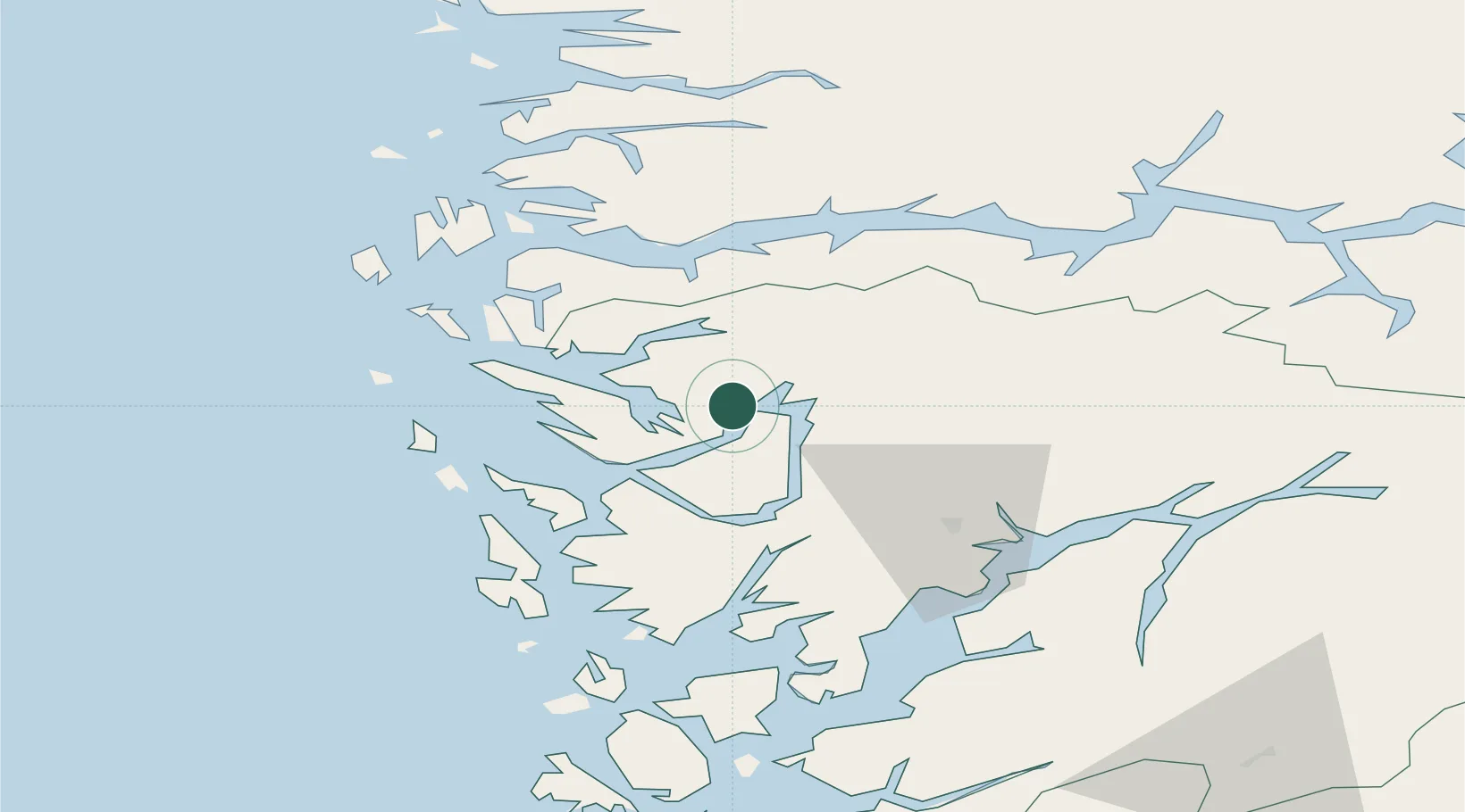
Location
Nearby Logistics Neighbours
Cities
- 1Tyssebotn9 km
- 2Eidslandet13 km
- 3Eidsnes13 km
- 4Lonevåg19 km
- 5Stanghelle19 km
Ports
- 1Vaksdal27 km
- 2Mongstad31 km
- 3Bergen36 km
- 4Stura38 km
- 5Brattholmen44 km
Airports
- 1Bergen Airport, Flesland49 km
- 2Førde Airport, Bringeland78 km
- 3Sogndal Airport, Haukåsen100 km
- 4Stord Airport, Sørstokken102 km
- 5Florø Airport102 km
Trade Zones
DatabookThe Record of Consolidated Knowledge
Norway beyond logistics?