Transport Functions
Port
Road
Hub Profile
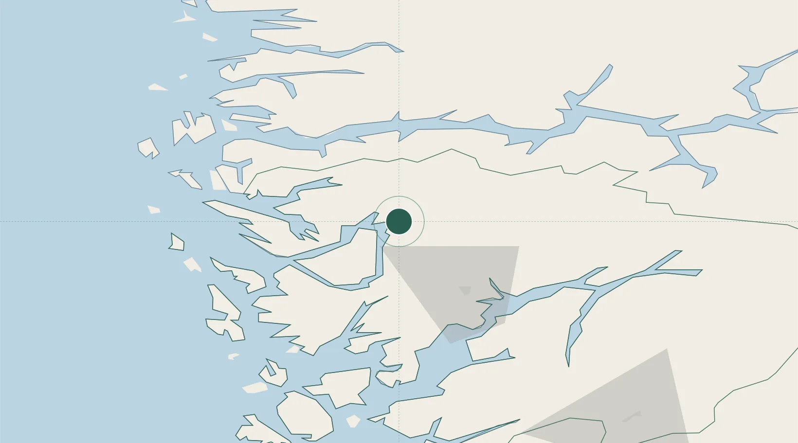
Place type
Populated place
Region
Vestland
Time zone
Europe/Oslo
Elevation
48 m
Location
Nearby Logistics Neighbours
Cities
- 1Eikefet13 km
- 2Tyssebotn16 km
- 3Stanghelle19 km
- 4Matre - Masfjorden22 km
- 5Eidsnes24 km
Ports
- 1Vaksdal27 km
- 2Mongstad43 km
- 3Bergen44 km
- 4Norheimsund44 km
- 5Stura51 km
Airports
- 1Bergen Airport, Flesland56 km
- 2Førde Airport, Bringeland75 km
- 3Sogndal Airport, Haukåsen88 km
- 4Florø Airport105 km
- 5Stord Airport, Sørstokken106 km
Trade Zones
DatabookThe Record of Consolidated Knowledge
Norway beyond logistics?