UN/LOCODE hub · Norway
NOESE

Eidsnes

60.6000°, 5.4167°
2
Transport functions

Transport Functions

Road
Multimodal
UN/LOCODE

Hub Profile

Place type
Populated place
GeoNames
Region
Vestland
GeoNames
Time zone
Europe/Oslo
GeoNames

Location

Location of NOESE
Natural Earth 10m (public domain) · Vestland · NOESE · 60.60, 5.42GoogleOSMYandex

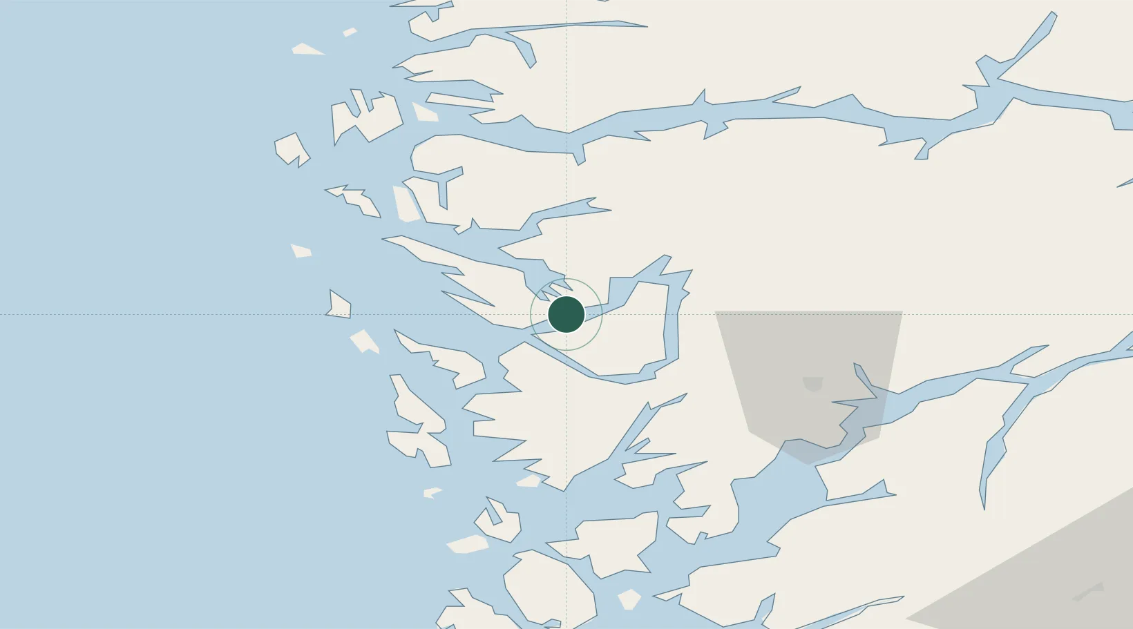
Nearby Logistics Neighbours

Cities
  1. 1Lonevåg8 km
  2. 2Tyssebotn9 km
  3. 3Hordvik11 km
  4. 4Flatoy12 km
  5. 5Flatøy12 km
Nearest neighbours — logibook spatial index (haversine) over the source coordinates
Ports
  1. 1Vaksdal22 km
  2. 2Bergen23 km
  3. 3Stura30 km
  4. 4Brattholmen31 km
  5. 5Haakonsvern31 km
Nearest neighbours — logibook spatial index (haversine) over the source coordinates
Airports
  1. 1Bergen Airport, Flesland36 km
  2. 2Førde Airport, Bringeland90 km
  3. 3Stord Airport, Sørstokken90 km
  4. 4Florø Airport111 km
  5. 5Sogndal Airport, Haukåsen112 km
Nearest neighbours — logibook spatial index (haversine) over the source coordinates
Trade Zones
  1. 1Gothenburg Boundless Customs Warehouse486 km
  2. 2Freeport of Copenhagen- Nordhavn687 km
  3. 3MTS Malmö Transport and Spedition715 km
  4. 4North Eastern Enterprise Zone752 km
  5. 5Freeport of Kiel752 km
Nearest neighbours — logibook spatial index (haversine) over the source coordinates
DatabookThe Record of Consolidated Knowledge
Norway beyond logistics?
Browse databook

All Sources

LocationsUN/LOCODE
UN/LOCODE — free
Portsthe NGA World Port Index
Public domain (US gov)
AirportsOurAirports
Public domain
Trade Zonesthe World Bank SEZ database
CC BY 4.0
Trade ZonesOpen Zone Map
CC BY
← Norway locations