Transport Functions
Port
Hub Profile
Place type
Locality
Region
Trøndelag
Time zone
Europe/Oslo
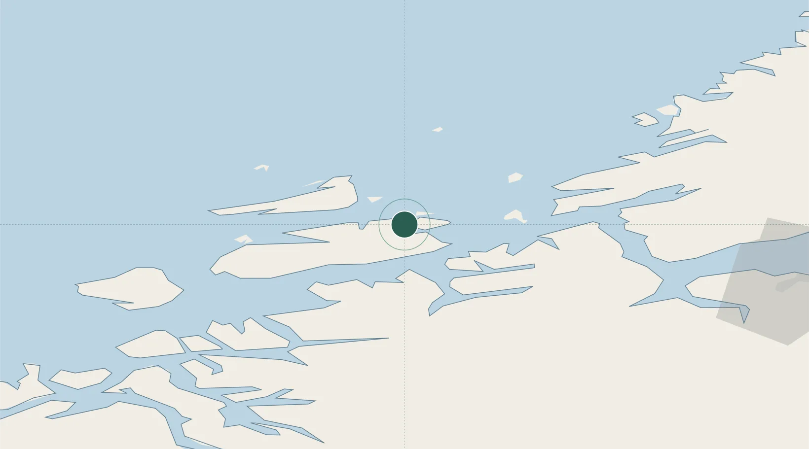
Location
Nearby Logistics Neighbours
Cities
- 1Dolmøy11 km
- 2Hammarvika - Frøya11 km
- 3Hestvika12 km
- 4Sistranda12 km
- 5Siholmen14 km
Ports
- 1Trondheim72 km
- 2Kristiansund85 km
- 3Hommelvik92 km
- 4Muruvik94 km
- 5Langstein94 km
Airports
- 1Ørland Airport31 km
- 2Kristiansund Airport, Kvernberget82 km
- 3Trondheim Airport, Værnes97 km
- 4Molde Airport, Årø132 km
- 5Namsos Airport156 km
Trade Zones
DatabookThe Record of Consolidated Knowledge
Norway beyond logistics?