Transport Functions
Port
Hub Profile
Region
16
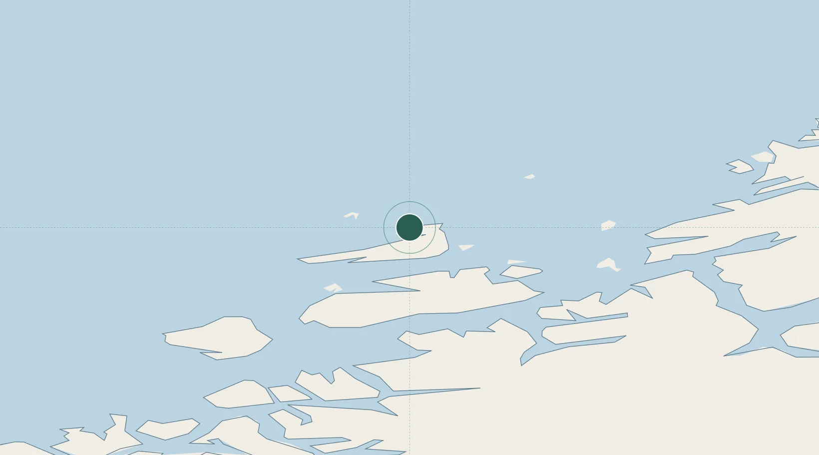
Location
Nearby Logistics Neighbours
Cities
- 1Mausund8 km
- 2Dyrvik8 km
- 3Siholmen11 km
- 4Nordskaget - Frøya11 km
- 5Sistranda12 km
Ports
- 1Kristiansund90 km
- 2Trondheim94 km
- 3Langstein112 km
- 4Hommelvik113 km
- 5Muruvik114 km
Airports
- 1Ørland Airport47 km
- 2Kristiansund Airport, Kvernberget88 km
- 3Trondheim Airport, Værnes117 km
- 4Molde Airport, Årø137 km
- 5Namsos Airport159 km
Trade Zones
DatabookThe Record of Consolidated Knowledge
Norway beyond logistics?