Transport Functions
Port
Hub Profile
Place type
Populated place
Region
Trøndelag
Time zone
Europe/Oslo
Elevation
3 m
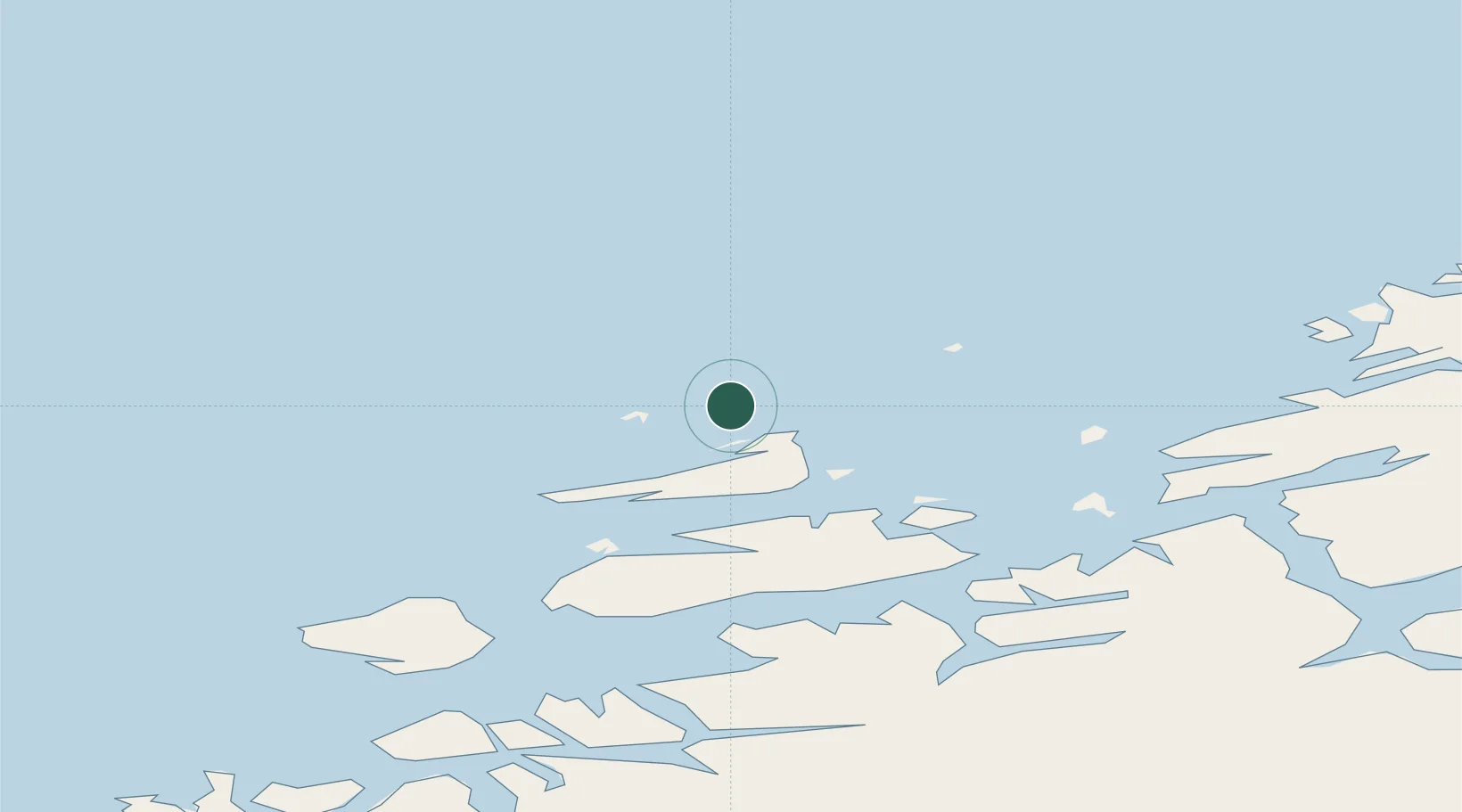
Location
Nearby Logistics Neighbours
Cities
- 1Stranda - Frøya8 km
- 2Dyrvik14 km
- 3Siholmen17 km
- 4Nordskaget - Frøya17 km
- 5Sistranda19 km
Ports
- 1Kristiansund96 km
- 2Trondheim97 km
- 3Langstein115 km
- 4Hommelvik117 km
- 5Muruvik117 km
Airports
- 1Ørland Airport50 km
- 2Kristiansund Airport, Kvernberget94 km
- 3Trondheim Airport, Værnes120 km
- 4Molde Airport, Årø143 km
- 5Namsos Airport156 km
Trade Zones
DatabookThe Record of Consolidated Knowledge
Norway beyond logistics?