UN/LOCODE hub · Norway
NODYR

Dyrvik

63.7667°, 8.8333°
2
Transport functions

Transport Functions

Port
Road
UN/LOCODE

Hub Profile

Region
16
GeoNames

Location

Location of NODYR
Natural Earth 10m (public domain) · 16 · NODYR · 63.77, 8.83GoogleOSMYandex

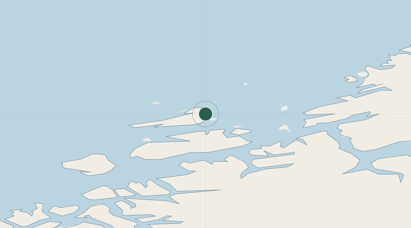
Nearby Logistics Neighbours

Cities
  1. 1Siholmen4 km
  2. 2Sistranda6 km
  3. 3Stranda - Frøya8 km
  4. 4Hammarvika - Frøya9 km
  5. 5Dolmøy13 km
Nearest neighbours — logibook spatial index (haversine) over the source coordinates
Ports
  1. 1Trondheim85 km
  2. 2Kristiansund91 km
  3. 3Langstein104 km
  4. 4Hommelvik105 km
  5. 5Muruvik106 km
Nearest neighbours — logibook spatial index (haversine) over the source coordinates
Airports
  1. 1Ørland Airport39 km
  2. 2Kristiansund Airport, Kvernberget88 km
  3. 3Trondheim Airport, Værnes109 km
  4. 4Molde Airport, Årø138 km
  5. 5Namsos Airport155 km
Nearest neighbours — logibook spatial index (haversine) over the source coordinates
Trade Zones
  1. 1Gothenburg Boundless Customs Warehouse693 km
  2. 2Stockholm Free Zone694 km
  3. 3Jönköping Free Zone725 km
  4. 4Freeport of Copenhagen- Nordhavn920 km
  5. 5MTS Malmö Transport and Spedition938 km
Nearest neighbours — logibook spatial index (haversine) over the source coordinates
DatabookThe Record of Consolidated Knowledge
Norway beyond logistics?
Browse databook

All Sources

LocationsUN/LOCODE
UN/LOCODE — free
Portsthe NGA World Port Index
Public domain (US gov)
AirportsOurAirports
Public domain
Trade Zonesthe World Bank SEZ database
CC BY 4.0
Trade ZonesOpen Zone Map
CC BY
← Norway locations