Transport Functions
Port
Hub Profile
Place type
Provincial seat
Region
Trøndelag
Population
685
Time zone
Europe/Oslo
Elevation
1 m
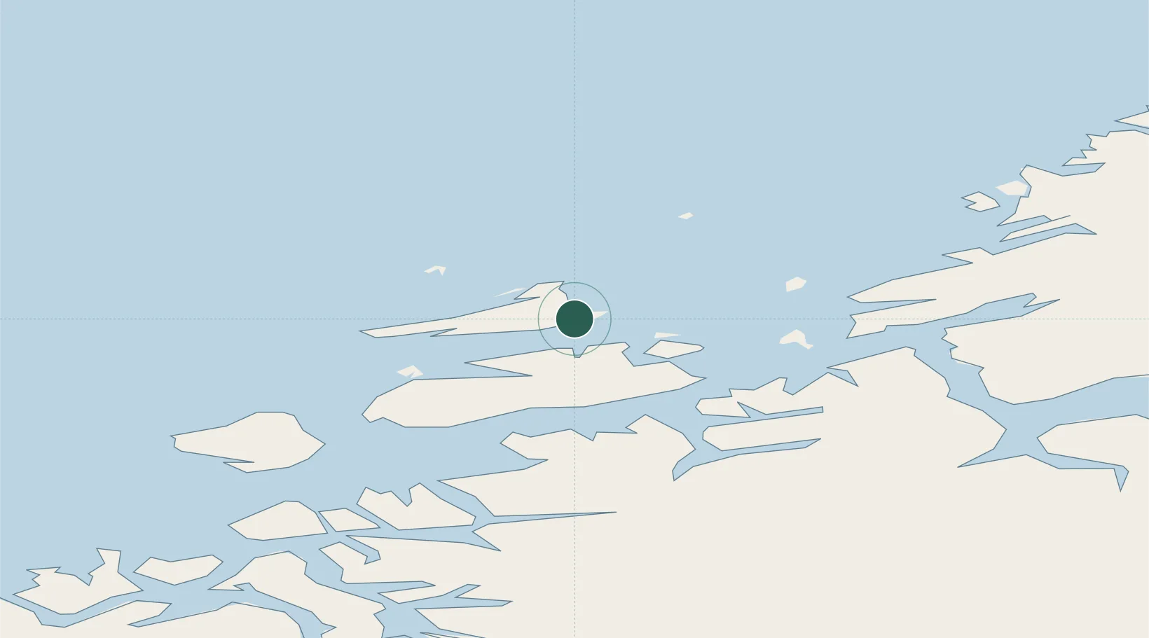
Location
Nearby Logistics Neighbours
Cities
- 1Siholmen2 km
- 2Hammarvika - Frøya4 km
- 3Dyrvik6 km
- 4Dolmøy8 km
- 5Stranda - Frøya12 km
Ports
- 1Trondheim83 km
- 2Kristiansund86 km
- 3Hommelvik103 km
- 4Langstein103 km
- 5Muruvik104 km
Airports
- 1Ørland Airport38 km
- 2Kristiansund Airport, Kvernberget84 km
- 3Trondheim Airport, Værnes107 km
- 4Molde Airport, Årø134 km
- 5Namsos Airport158 km
Trade Zones
DatabookThe Record of Consolidated Knowledge
Norway beyond logistics?