UN/LOCODE hub · Norway
NOSMM

Strømmen

59.9500°, 11.0000°
2
Transport functions

Transport Functions

Rail
Road
UN/LOCODE

Hub Profile

Region
02
GeoNames

Location

Location of NOSMM
Natural Earth 10m (public domain) · 02 · NOSMM · 59.95, 11.00GoogleOSMYandex

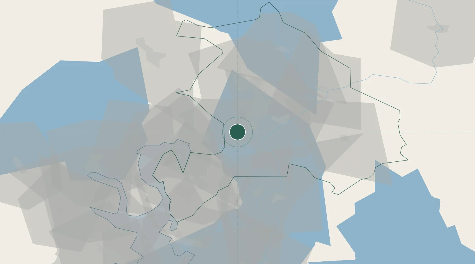
Nearby Logistics Neighbours

Cities
  1. 1Rud3 km
  2. 2Lørenskog4 km
  3. 3Frogner9 km
  4. 4Oslo12 km
  5. 5Sjursøja/Oslo15 km
Nearest neighbours — logibook spatial index (haversine) over the source coordinates
Ports
  1. 1Oslo15 km
  2. 2Fagerstrand34 km
  3. 3Drobak38 km
  4. 4Drammen48 km
  5. 5Svelvik49 km
Nearest neighbours — logibook spatial index (haversine) over the source coordinates
Airports
  1. 1Oslo-Gardermoen International Airport28 km
  2. 2Moss Airport, Rygge65 km
  3. 3Sandefjord Airport, Torp95 km
  4. 4Notodden Airport109 km
  5. 5Torsby Airport113 km
Nearest neighbours — logibook spatial index (haversine) over the source coordinates
Trade Zones
  1. 1Gothenburg Boundless Customs Warehouse254 km
  2. 2Jönköping Free Zone301 km
  3. 3Stockholm Free Zone405 km
  4. 4Freeport of Copenhagen- Nordhavn480 km
  5. 5MTS Malmö Transport and Spedition499 km
Nearest neighbours — logibook spatial index (haversine) over the source coordinates
DatabookThe Record of Consolidated Knowledge
Norway beyond logistics?
Browse databook

All Sources

LocationsUN/LOCODE
UN/LOCODE — free
Portsthe NGA World Port Index
Public domain (US gov)
AirportsOurAirports
Public domain
Trade Zonesthe World Bank SEZ database
CC BY 4.0
Trade ZonesOpen Zone Map
CC BY
← Norway locations