Transport Functions
Rail
Road
Hub Profile
Place type
Populated place
Region
Akershus
Time zone
Europe/Oslo
Elevation
106 m
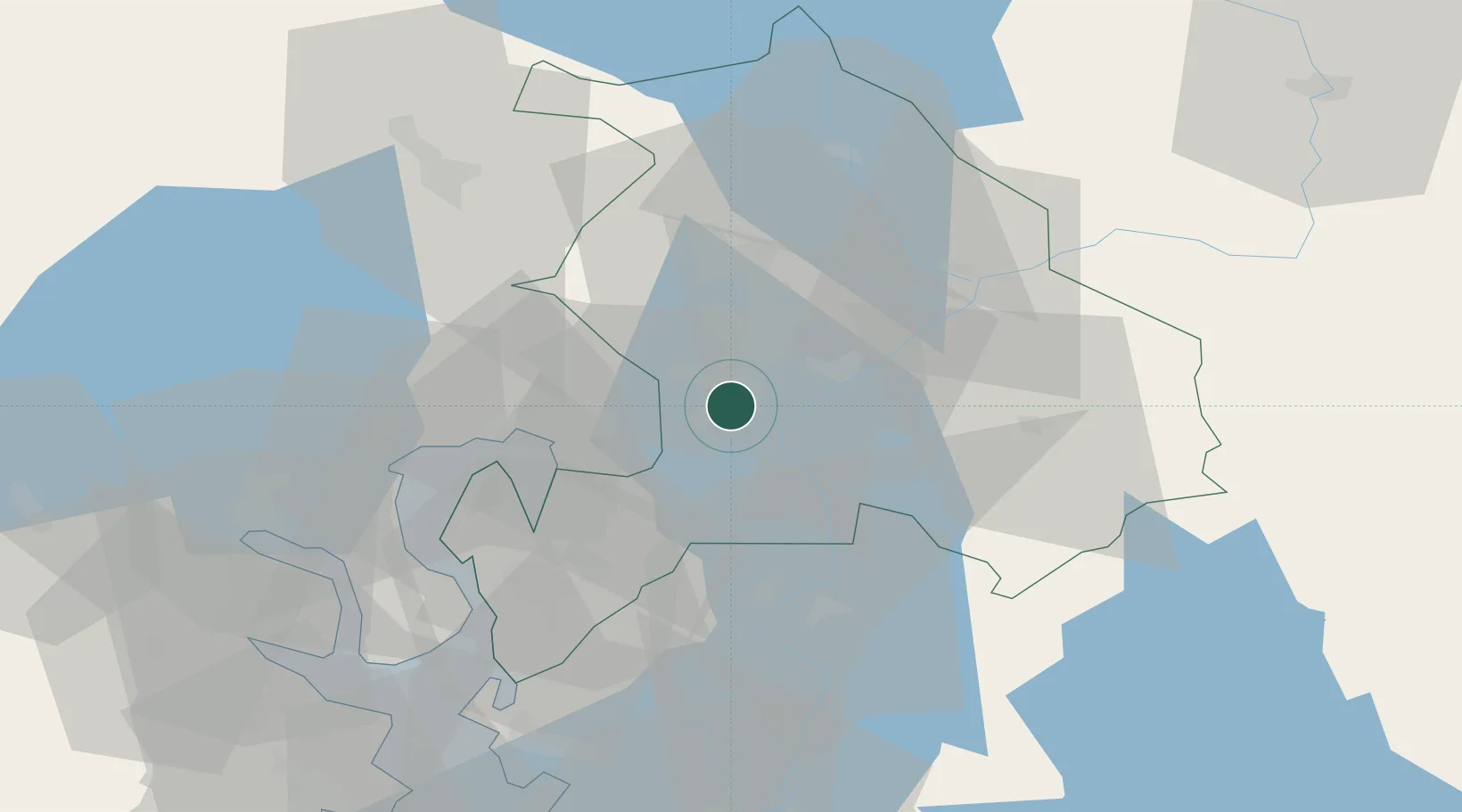
Location
Nearby Logistics Neighbours
Cities
- 1Strømmen3 km
- 2Lørenskog7 km
- 3Frogner8 km
- 4Oslo14 km
- 5Sjursøja/Oslo17 km
Ports
- 1Oslo18 km
- 2Fagerstrand36 km
- 3Drobak40 km
- 4Drammen51 km
- 5Svelvik51 km
Airports
- 1Oslo-Gardermoen International Airport27 km
- 2Moss Airport, Rygge65 km
- 3Sandefjord Airport, Torp96 km
- 4Torsby Airport110 km
- 5Notodden Airport111 km
Trade Zones
DatabookThe Record of Consolidated Knowledge
Norway beyond logistics?