Transport Functions
Multimodal
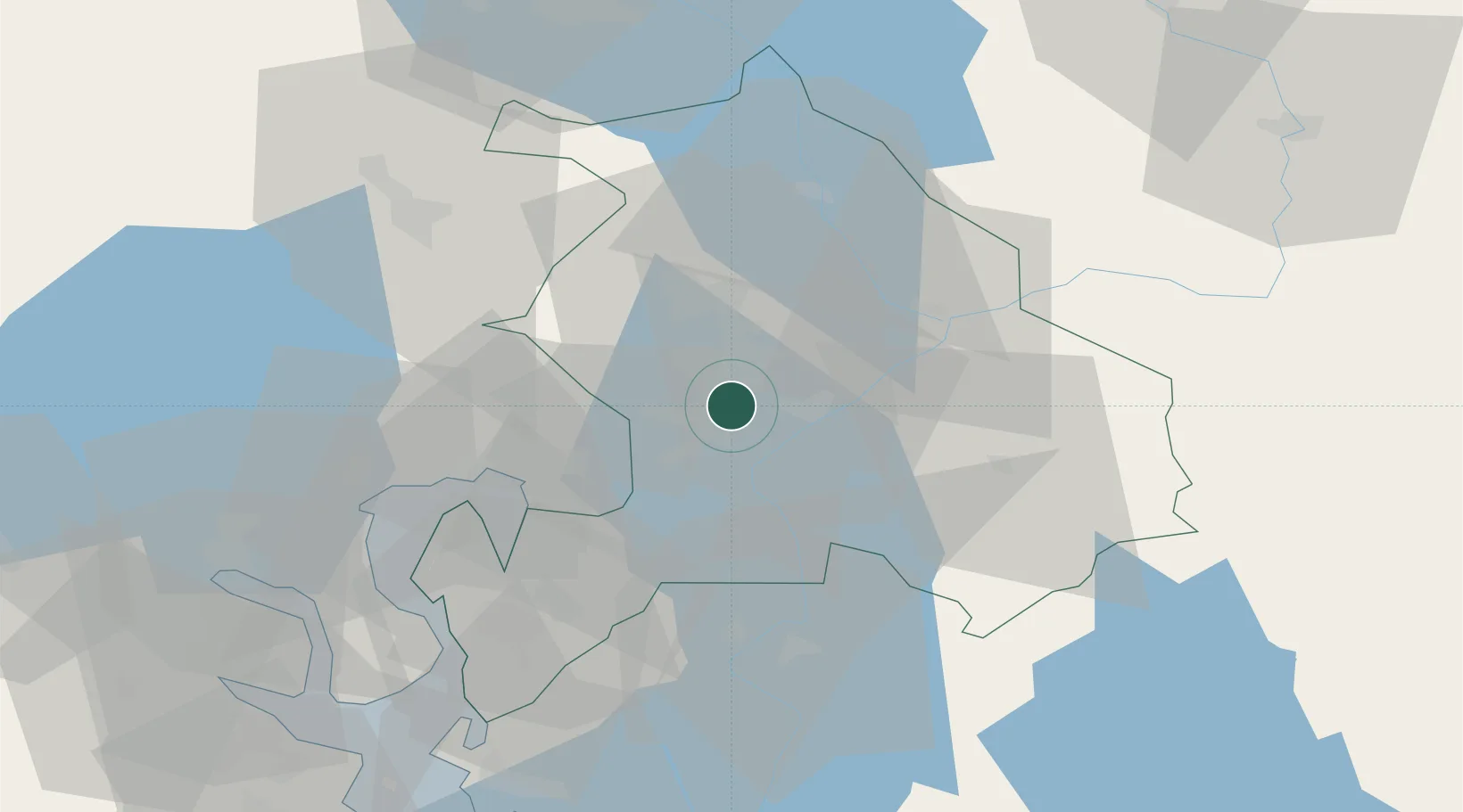
Hub Profile
Place type
Populated place
Region
Akershus
Population
1,174
Time zone
Europe/Oslo
Elevation
138 m
Location
Nearby Logistics Neighbours
Ports
- 1Oslo24 km
- 2Fagerstrand43 km
- 3Drobak48 km
- 4Drammen57 km
- 5Svelvik59 km
Airports
- 1Oslo-Gardermoen International Airport20 km
- 2Moss Airport, Rygge73 km
- 3Sandefjord Airport, Torp104 km
- 4Torsby Airport106 km
- 5Notodden Airport117 km
Trade Zones
DatabookThe Record of Consolidated Knowledge
Norway beyond logistics?