Transport Functions
Rail
Road
Hub Profile
Place type
Locality
Region
Innlandet
Time zone
Europe/Oslo
Elevation
160 m
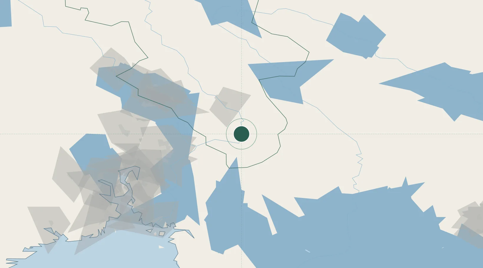
Location
Nearby Logistics Neighbours
Ports
- 1Oslo85 km
- 2Fagerstrand103 km
- 3Drobak107 km
- 4Tofte118 km
- 5Drammen118 km
Airports
- 1Oslo-Gardermoen International Airport53 km
- 2Torsby Airport56 km
- 3Hagfors Airport92 km
- 4Scandinavian Mountains Airport104 km
- 5Karlstad Airport121 km
Trade Zones
DatabookThe Record of Consolidated Knowledge
Norway beyond logistics?