Transport Functions
Rail
Road
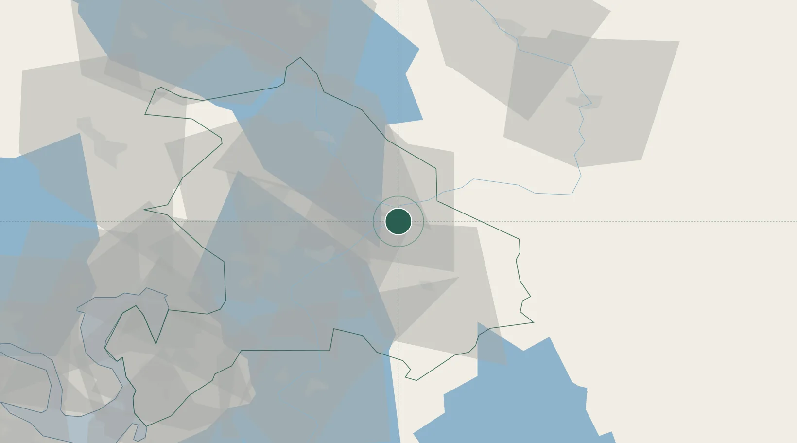
Hub Profile
Place type
Provincial seat
Region
Akershus
Population
3,289
Time zone
Europe/Oslo
Elevation
140 m
Location
Nearby Logistics Neighbours
Ports
- 1Oslo47 km
- 2Fagerstrand65 km
- 3Drobak69 km
- 4Drammen80 km
- 5Svelvik81 km
Airports
- 1Oslo-Gardermoen International Airport22 km
- 2Torsby Airport85 km
- 3Moss Airport, Rygge91 km
- 4Hagfors Airport118 km
- 5Sandefjord Airport, Torp124 km
Trade Zones
DatabookThe Record of Consolidated Knowledge
Norway beyond logistics?