Transport Functions
Port
Hub Profile
Region
16
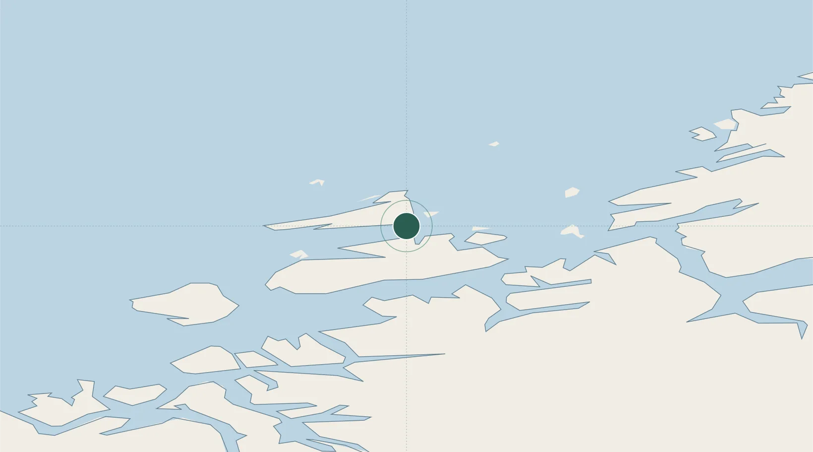
Location
Nearby Logistics Neighbours
Ports
- 1Kristiansund83 km
- 2Trondheim84 km
- 3Hommelvik103 km
- 4Langstein104 km
- 5Muruvik105 km
Airports
- 1Ørland Airport40 km
- 2Kristiansund Airport, Kvernberget80 km
- 3Trondheim Airport, Værnes108 km
- 4Molde Airport, Årø130 km
- 5Namsos Airport161 km
Trade Zones
DatabookThe Record of Consolidated Knowledge
Norway beyond logistics?