Medium airport · Sweden
Mora AirportESKM
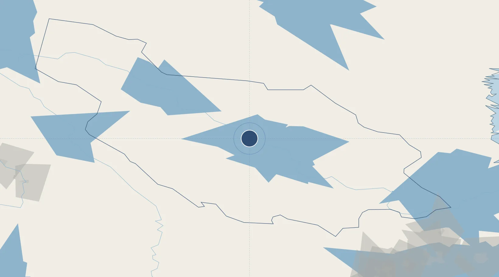
60.9579°, 14.5114°
5,951 ft
Longest runway
1
Runways
634 ft
Elevation
Runway & Layout

Radio Frequencies
AFIS
129.855 MHz
Navaids
NM NDB N Mora 403 kHz
Runways · 1
| Runway | Dimensions | Surface | True heading | Lit |
|---|---|---|---|---|
| 16/34 | 5,951 × 148ft | Asphalt | 161° | ✓ |
Airport Specifications
IATA code
MXX
ICAO code
ESKM
Airport class
Medium airport
Scheduled service
Yes
Runway surface
Asphalt
Served city
Mora
Location
Nearby Logistics Neighbours
Airports
- 1Dala Airport81 km
- 2Scandinavian Mountains Airport93 km
- 3Hagfors Airport116 km
- 4Sveg Airport121 km
- 5Torsby Airport122 km
Cities
- 1Södra Vika3 km
- 2Dala-Järna46 km
- 3Transtrand66 km
- 4Kvarnsveden70 km
- 5Alfta95 km
Ports
- 1Soderhamn143 km
- 2Norrsundet143 km
- 3Vallvik145 km
- 4Gavle147 km
- 5Sandarne148 km
Trade Zones
- 1Stockholm Free Zone268 km
- 2Jönköping Free Zone356 km
- 3Gothenburg Boundless Customs Warehouse393 km
- 4Turku Free Zone423 km
- 5Freeport of Hanko476 km
DatabookThe Record of Consolidated Knowledge
Sweden beyond logistics?