UN/LOCODE hub · Norway
NOSOY

Storøya

59.4167°, 5.2333°
1
Transport functions

Transport Functions

Port
UN/LOCODE

Hub Profile

Region
11
GeoNames

Location

Location of NOSOY
Natural Earth 10m (public domain) · 11 · NOSOY · 59.42, 5.23GoogleOSMYandex

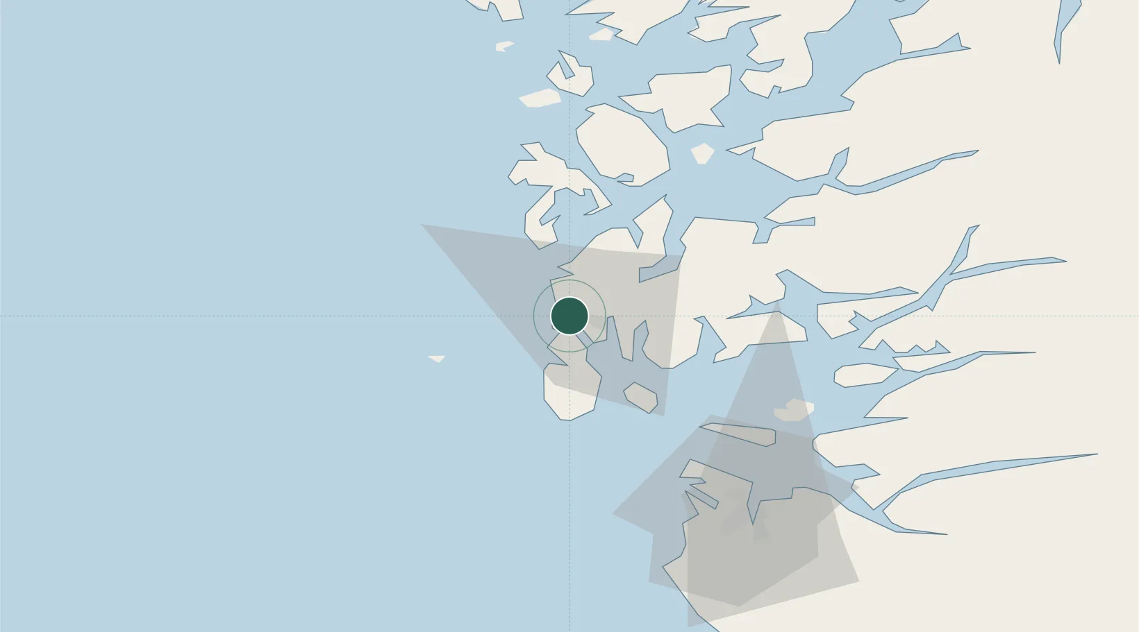
Nearby Logistics Neighbours

Cities
  1. 1Storesund2 km
  2. 2Bøneset - Karmøy6 km
  3. 3Avaldsnes8 km
  4. 4Vormedal9 km
  5. 5Haugesund10 km
Nearest neighbours — logibook spatial index (haversine) over the source coordinates
Ports
  1. 1Haugesund1 km
  2. 2Kopervik16 km
  3. 3Akrahamn17 km
  4. 4Karsto23 km
  5. 5Skudeneshavn30 km
Nearest neighbours — logibook spatial index (haversine) over the source coordinates
Airports
  1. 1Haugesund Airport, Karmøy8 km
  2. 2Stord Airport, Sørstokken42 km
  3. 3Stavanger Airport, Sola64 km
  4. 4Bergen Airport, Flesland98 km
  5. 5Kristiansand Airport213 km
Nearest neighbours — logibook spatial index (haversine) over the source coordinates
Trade Zones
  1. 1Gothenburg Boundless Customs Warehouse426 km
  2. 2Freeport of Kiel640 km
  3. 3North Eastern Enterprise Zone644 km
  4. 4Freeport of Cuxhaven (Freihafen Cuxhaven)654 km
  5. 5Tees Valley Enterprise Zone661 km
Nearest neighbours — logibook spatial index (haversine) over the source coordinates
DatabookThe Record of Consolidated Knowledge
Norway beyond logistics?
Browse databook

All Sources

LocationsUN/LOCODE
UN/LOCODE — free
Portsthe NGA World Port Index
Public domain (US gov)
AirportsOurAirports
Public domain
Trade Zonesthe World Bank SEZ database
CC BY 4.0
Trade ZonesOpen Zone Map
CC BY
← Norway locations