UN/LOCODE hub · Norway
NOMAH

Maurholen

58.4667°, 5.9167°
1
Transport functions

Transport Functions

Port
UN/LOCODE

Hub Profile

Region
11
GeoNames

Location

Location of NOMAH
Natural Earth 10m (public domain) · 11 · NOMAH · 58.47, 5.92GoogleOSMYandex

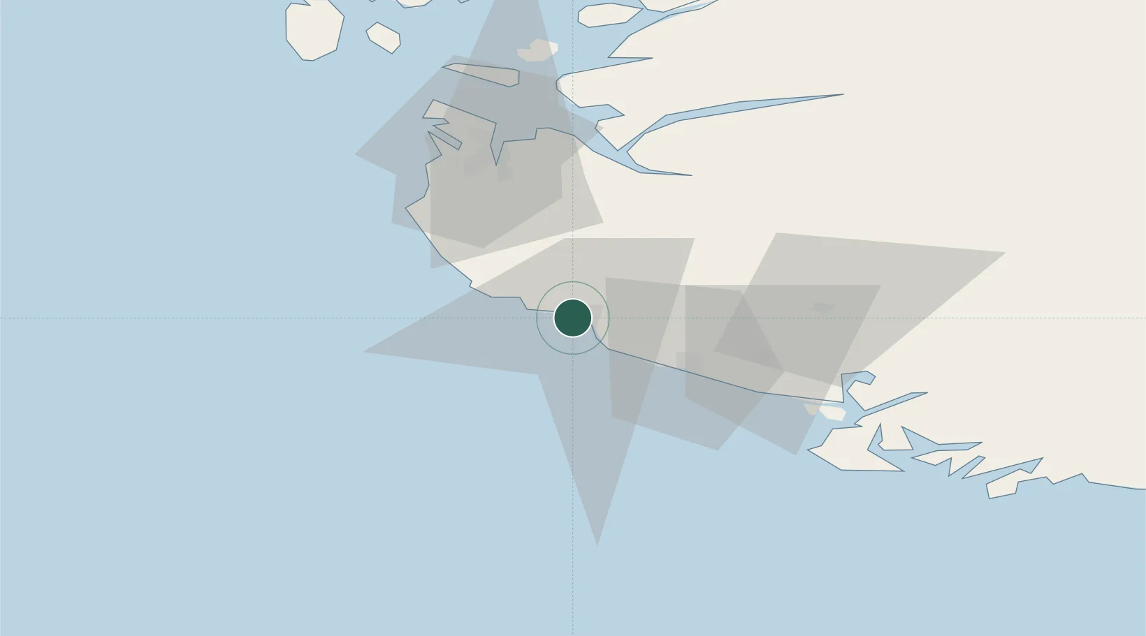
Nearby Logistics Neighbours

Cities
  1. 1Hellvik3 km
  2. 2Egersund5 km
  3. 3Sirevåg9 km
  4. 4Helleland12 km
  5. 5Bjerkreim19 km
Nearest neighbours — logibook spatial index (haversine) over the source coordinates
Ports
  1. 1Egersund5 km
  2. 2Rekefjord25 km
  3. 3Jossingfjord30 km
  4. 4Kirkehamn44 km
  5. 5Sandnes46 km
Nearest neighbours — logibook spatial index (haversine) over the source coordinates
Airports
  1. 1Stavanger Airport, Sola48 km
  2. 2Haugesund Airport, Karmøy106 km
  3. 3Kristiansand Airport130 km
  4. 4Stord Airport, Sørstokken151 km
  5. 5Bergen Airport, Flesland207 km
Nearest neighbours — logibook spatial index (haversine) over the source coordinates
Trade Zones
  1. 1Gothenburg Boundless Customs Warehouse357 km
  2. 2Freeport of Kiel529 km
  3. 3Freeport of Cuxhaven (Freihafen Cuxhaven)542 km
  4. 4Freeport of Emden576 km
  5. 5North Eastern Enterprise Zone602 km
Nearest neighbours — logibook spatial index (haversine) over the source coordinates
DatabookThe Record of Consolidated Knowledge
Norway beyond logistics?
Browse databook

All Sources

LocationsUN/LOCODE
UN/LOCODE — free
Portsthe NGA World Port Index
Public domain (US gov)
AirportsOurAirports
Public domain
Trade Zonesthe World Bank SEZ database
CC BY 4.0
Trade ZonesOpen Zone Map
CC BY
← Norway locations