Transport Functions
Road
Multimodal
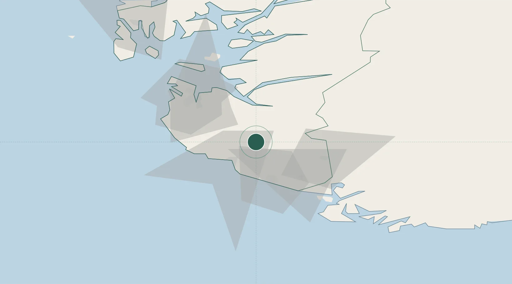
Hub Profile
Place type
Populated place
Region
Rogaland
Time zone
Europe/Oslo
Elevation
193 m
Location
Nearby Logistics Neighbours
Ports
- 1Egersund20 km
- 2Rekefjord32 km
- 3Jossingfjord34 km
- 4Sandnes37 km
- 5Stavanger46 km
Airports
- 1Stavanger Airport, Sola41 km
- 2Haugesund Airport, Karmøy98 km
- 3Kristiansand Airport123 km
- 4Stord Airport, Sørstokken140 km
- 5Bergen Airport, Flesland195 km
Trade Zones
- 1Gothenburg Boundless Customs Warehouse349 km
- 2Jönköping Free Zone476 km
- 3Freeport of Copenhagen- Nordhavn506 km
- 4Freeport of Kiel536 km
- 5MTS Malmö Transport and Spedition537 km
DatabookThe Record of Consolidated Knowledge
Norway beyond logistics?