Transport Functions
Port
Rail
Road
Hub Profile
Place type
Populated place
Region
Rogaland
Population
385
Time zone
Europe/Oslo
Elevation
16 m
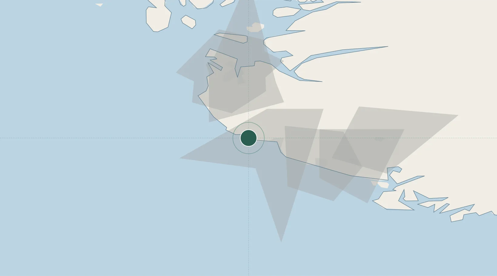
Location
Nearby Logistics Neighbours
Ports
- 1Egersund14 km
- 2Rekefjord34 km
- 3Jossingfjord38 km
- 4Sandnes42 km
- 5Tananger49 km
Airports
- 1Stavanger Airport, Sola43 km
- 2Haugesund Airport, Karmøy100 km
- 3Kristiansand Airport138 km
- 4Stord Airport, Sørstokken146 km
- 5Bergen Airport, Flesland202 km
Trade Zones
DatabookThe Record of Consolidated Knowledge
Norway beyond logistics?