Seaport · Norway

SandnesNOSAS

58.8733°, 5.7528°
4.9 m
Channel depth
19.4
Port liner connectivity
Sandnes is also a UN/LOCODE logistics hub →

Channel & Berth Profile

SEA LEVEL (CD)CHANNEL BEDChannel · 4.9 mCargo pier · 4.9 mOil terminal · 12.5 mAnchorage · 20.1 m
NGA World Port Index

Pilotage, Tugs & Services

Pilotage compulsoryYES
Pilotage availableYES
Tug assistanceYES
Potable waterYES
MedicalYES
NGA World Port Index

Facilities & Capabilities

ContainerYES
Ro-RoYES
Liquid bulkYES
Dry bulkNO
Oil terminalNO
Break bulkYES
Dry dock
RepairsNO
Bunkering
Rail linkYES
Dangerous cargo
ISPS security
NGA World Port Index

Harbour Specifications

Harbour size
Very Small
NGA World Port Index
Harbour type
River (Basins)
NGA World Port Index
Shelter
Good
NGA World Port Index
Water body
North Sea; North Atlantic Ocean
NGA World Port Index
Tidal range
1 m
NGA World Port Index
Overhead limit
No
NGA World Port Index
Pilotage
Yes
NGA World Port Index

Liner Connectivity

19.4
PLSCI

Port Liner Shipping Connectivity Index for Sandnes, as published by UNCTAD for the latest available quarter. Higher values indicate stronger scheduled liner-shipping integration.

Shown relative to the highest per-port PLSCI in the dataset (1,657.9).
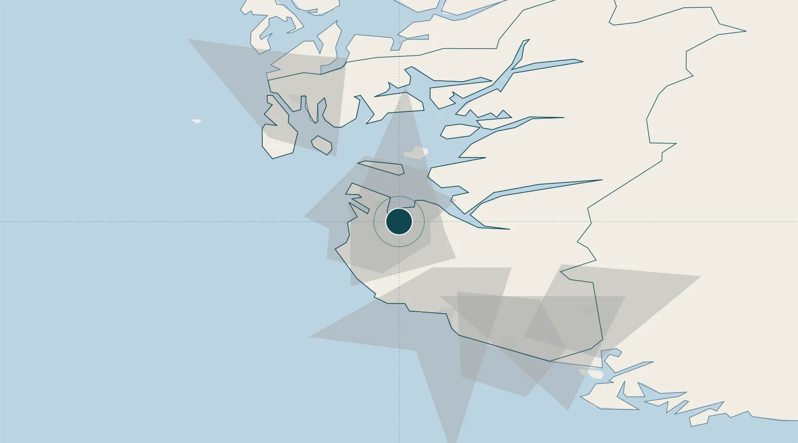
UNCTAD · Port Liner Shipping Connectivity Index

Location

Location of NOSAS
Natural Earth 10m (public domain) · Rogaland · NOSAS · 58.87, 5.75GoogleOSMYandex

Nearby Logistics Neighbours

Ports
  1. 1Stavanger10 km
  2. 2Tananger12 km
  3. 3Skudeneshavn41 km
  4. 4Karsto46 km
  5. 5Egersund50 km
Nearest neighbours — logibook spatial index (haversine) over the source coordinates
Cities
  1. 1Forus1 km
  2. 2Lura1 km
  3. 3Sandane7 km
  4. 4Stavanger10 km
  5. 5Tananger11 km
Nearest neighbours — logibook spatial index (haversine) over the source coordinates
Airports
  1. 1Stavanger Airport, Sola7 km
  2. 2Haugesund Airport, Karmøy61 km
  3. 3Stord Airport, Sørstokken105 km
  4. 4Kristiansand Airport155 km
  5. 5Bergen Airport, Flesland161 km
Nearest neighbours — logibook spatial index (haversine) over the source coordinates
Trade Zones
  1. 1Gothenburg Boundless Customs Warehouse377 km
  2. 2Freeport of Kiel572 km
  3. 3Freeport of Cuxhaven (Freihafen Cuxhaven)587 km
  4. 4Freeport of Emden622 km
  5. 5North Eastern Enterprise Zone623 km
Nearest neighbours — logibook spatial index (haversine) over the source coordinates
DatabookThe Record of Consolidated Knowledge
Norway beyond logistics?
Browse databook

All Sources

Portsthe NGA World Port Index
Public domain (US gov)
Logistics performanceUNCTAD
CC BY 3.0 IGO
AirportsOurAirports
Public domain
LocationsUN/LOCODE
UN/LOCODE — free
Trade Zonesthe World Bank SEZ database
CC BY 4.0
Trade ZonesOpen Zone Map
CC BY
← Norway ports