Transport Functions
Port
Rail
Road
Hub Profile
Place type
Populated place
Region
Rogaland
Population
643
Time zone
Europe/Oslo
Elevation
14 m
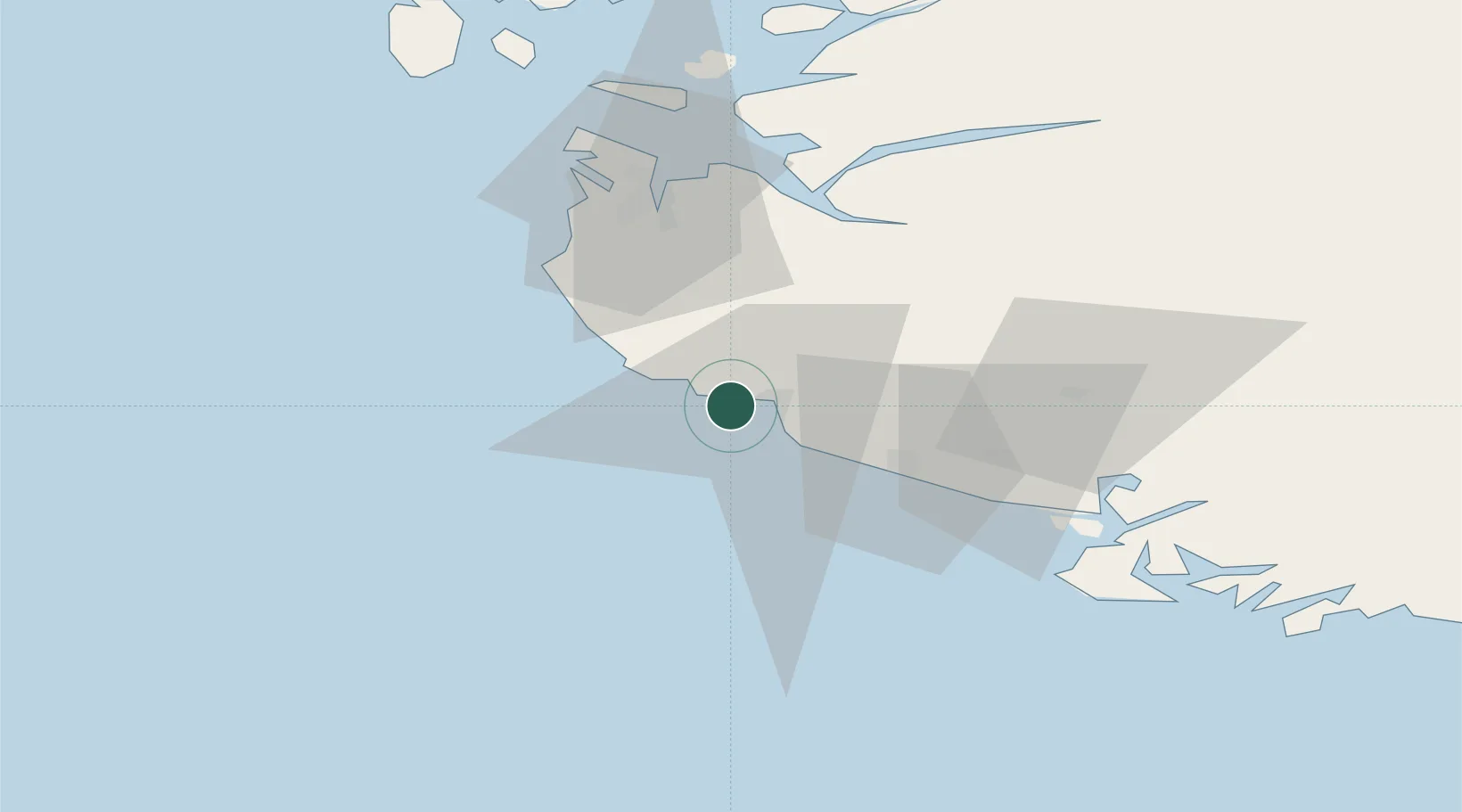
Location
Nearby Logistics Neighbours
Ports
- 1Egersund8 km
- 2Rekefjord28 km
- 3Jossingfjord32 km
- 4Sandnes46 km
- 5Kirkehamn47 km
Airports
- 1Stavanger Airport, Sola48 km
- 2Haugesund Airport, Karmøy105 km
- 3Kristiansand Airport133 km
- 4Stord Airport, Sørstokken150 km
- 5Bergen Airport, Flesland206 km
Trade Zones
DatabookThe Record of Consolidated Knowledge
Norway beyond logistics?