Transport Functions
Port
Hub Profile
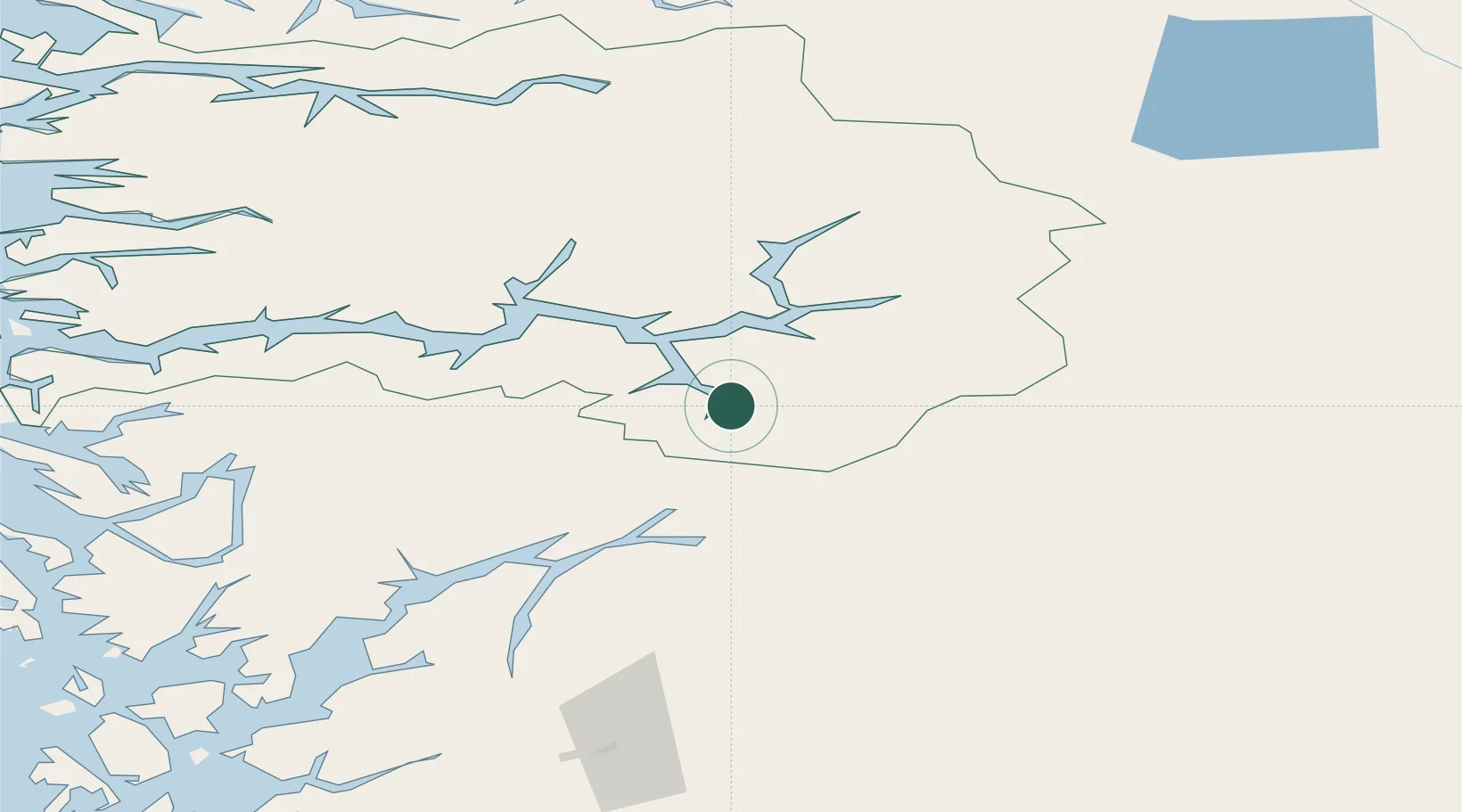
Place type
Populated place
Region
Vestland
Time zone
Europe/Oslo
Elevation
300 m
Location
Nearby Logistics Neighbours
Ports
- 1Ardalstangen46 km
- 2Norheimsund82 km
- 3Vaksdal92 km
- 4Odda96 km
- 5Mongstad117 km
Airports
- 1Sogndal Airport, Haukåsen29 km
- 2Førde Airport, Bringeland94 km
- 3Sandane Airport, Anda118 km
- 4Bergen Airport, Flesland127 km
- 5Florø Airport138 km
Trade Zones
- 1Gothenburg Boundless Customs Warehouse442 km
- 2Jönköping Free Zone524 km
- 3Freeport of Copenhagen- Nordhavn657 km
- 4MTS Malmö Transport and Spedition682 km
- 5Freeport of Kiel751 km
DatabookThe Record of Consolidated Knowledge
Norway beyond logistics?