Transport Functions
Port
Airport
Hub Profile
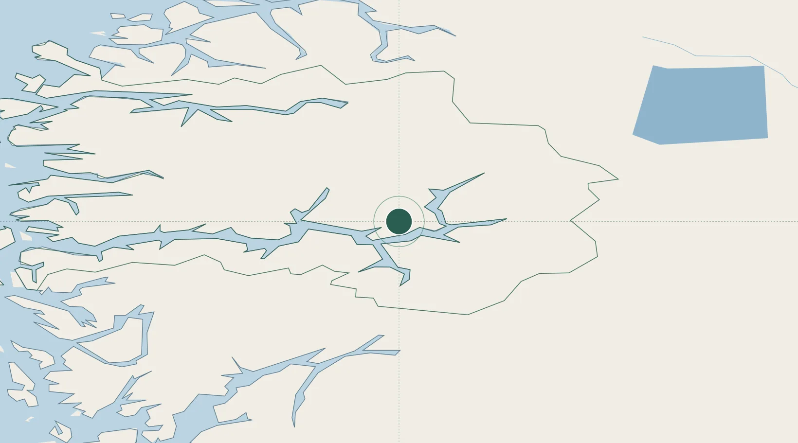
Place type
Populated place
Region
Vestland
Population
3,995
Time zone
Europe/Oslo
Elevation
1 m
Location
Nearby Logistics Neighbours
Cities
- 1Kaupanger9 km
- 2Hermansverk15 km
- 3Lærdal23 km
- 4Gaupne23 km
- 5Fjærland28 km
Ports
- 1Ardalstangen32 km
- 2Norheimsund108 km
- 3Vaksdal111 km
- 4Floro118 km
- 5Mongstad119 km
Airports
- 1Sogndal Airport, Haukåsen7 km
- 2Førde Airport, Bringeland74 km
- 3Sandane Airport, Anda86 km
- 4Florø Airport118 km
- 5Ørsta-Volda Airport, Hovden120 km
Trade Zones
- 1Gothenburg Boundless Customs Warehouse472 km
- 2Jönköping Free Zone550 km
- 3Freeport of Copenhagen- Nordhavn690 km
- 4MTS Malmö Transport and Spedition714 km
- 5Freeport of Kiel787 km
DatabookThe Record of Consolidated Knowledge
Norway beyond logistics?