Transport Functions
Port
Rail
Road
Hub Profile
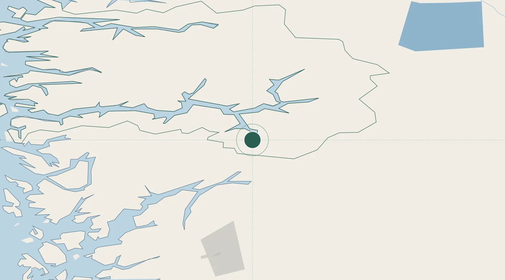
Place type
Populated place
Region
Vestland
Population
500
Time zone
Europe/Oslo
Elevation
200 m
Location
Nearby Logistics Neighbours
Ports
- 1Ardalstangen51 km
- 2Norheimsund77 km
- 3Vaksdal87 km
- 4Odda91 km
- 5Bergen112 km
Airports
- 1Sogndal Airport, Haukåsen32 km
- 2Førde Airport, Bringeland93 km
- 3Sandane Airport, Anda120 km
- 4Bergen Airport, Flesland122 km
- 5Florø Airport137 km
Trade Zones
- 1Gothenburg Boundless Customs Warehouse441 km
- 2Jönköping Free Zone524 km
- 3Freeport of Copenhagen- Nordhavn656 km
- 4MTS Malmö Transport and Spedition681 km
- 5Freeport of Kiel749 km
DatabookThe Record of Consolidated Knowledge
Norway beyond logistics?