Transport Functions
Port
Road
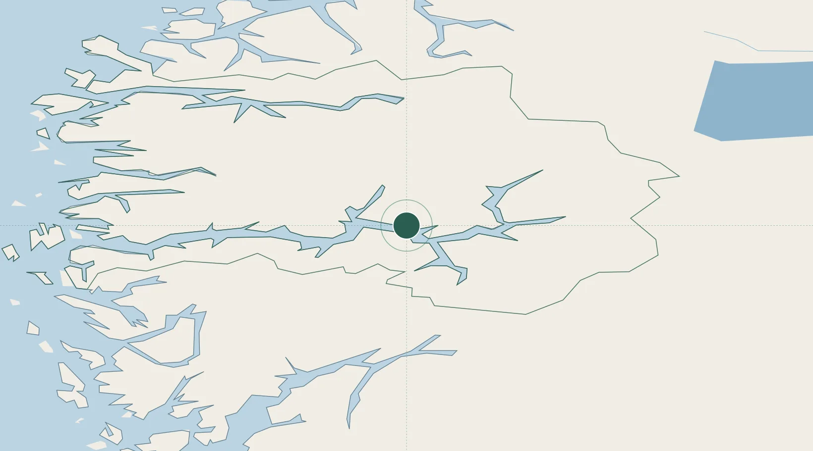
Hub Profile
Place type
Regional capital
Region
Vestland
Population
2,144
Time zone
Europe/Oslo
Elevation
60 m
Location
Nearby Logistics Neighbours
Cities
- 1Sogndal15 km
- 2Balestrand16 km
- 3Vik - Sogn17 km
- 4Kaupanger22 km
- 5Fjærland25 km
Ports
- 1Ardalstangen47 km
- 2Norheimsund98 km
- 3Vaksdal99 km
- 4Mongstad105 km
- 5Floro107 km
Airports
- 1Sogndal Airport, Haukåsen17 km
- 2Førde Airport, Bringeland62 km
- 3Sandane Airport, Anda82 km
- 4Florø Airport106 km
- 5Ørsta-Volda Airport, Hovden118 km
Trade Zones
- 1Gothenburg Boundless Customs Warehouse478 km
- 2Jönköping Free Zone558 km
- 3Freeport of Copenhagen- Nordhavn694 km
- 4MTS Malmö Transport and Spedition719 km
- 5Freeport of Kiel787 km
DatabookThe Record of Consolidated Knowledge
Norway beyond logistics?