Transport Functions
Port
Road
Hub Profile
Place type
Populated place
Region
Vestland
Time zone
Europe/Oslo
Elevation
36 m
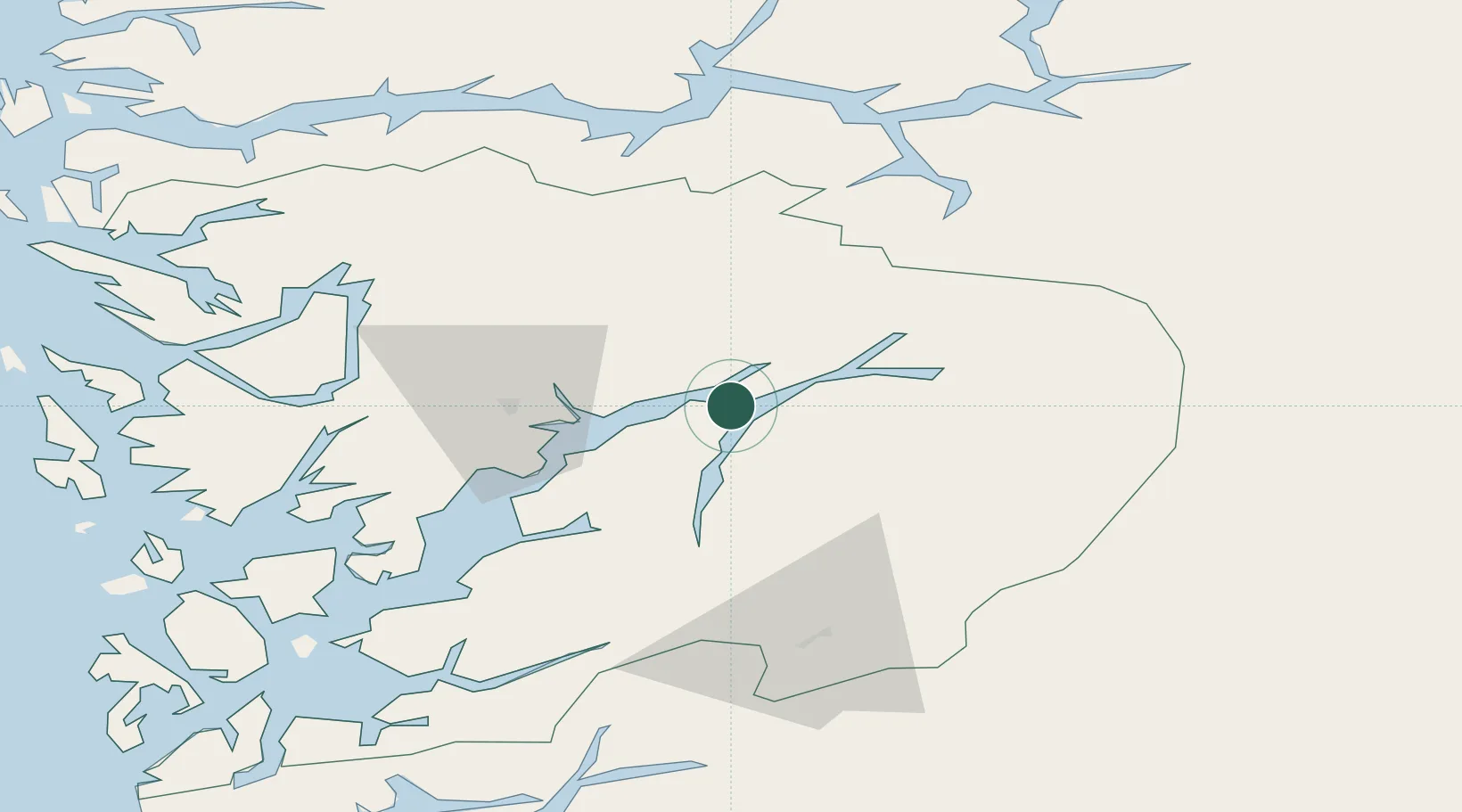
Location
Nearby Logistics Neighbours
Cities
- 1Kvanndal7 km
- 2Kinsarvik9 km
- 3Ålvik10 km
- 4Ullensvang12 km
- 5Granvin12 km
Ports
- 1Norheimsund25 km
- 2Odda36 km
- 3Vaksdal48 km
- 4Bergen72 km
- 5Haakonsvern76 km
Airports
- 1Bergen Airport, Flesland77 km
- 2Sogndal Airport, Haukåsen87 km
- 3Stord Airport, Sørstokken99 km
- 4Førde Airport, Bringeland118 km
- 5Haugesund Airport, Karmøy142 km
Trade Zones
- 1Gothenburg Boundless Customs Warehouse424 km
- 2Jönköping Free Zone519 km
- 3Freeport of Copenhagen- Nordhavn630 km
- 4MTS Malmö Transport and Spedition657 km
- 5Freeport of Kiel709 km
DatabookThe Record of Consolidated Knowledge
Norway beyond logistics?