Transport Functions
Multimodal
Hub Profile
Place type
Urban district
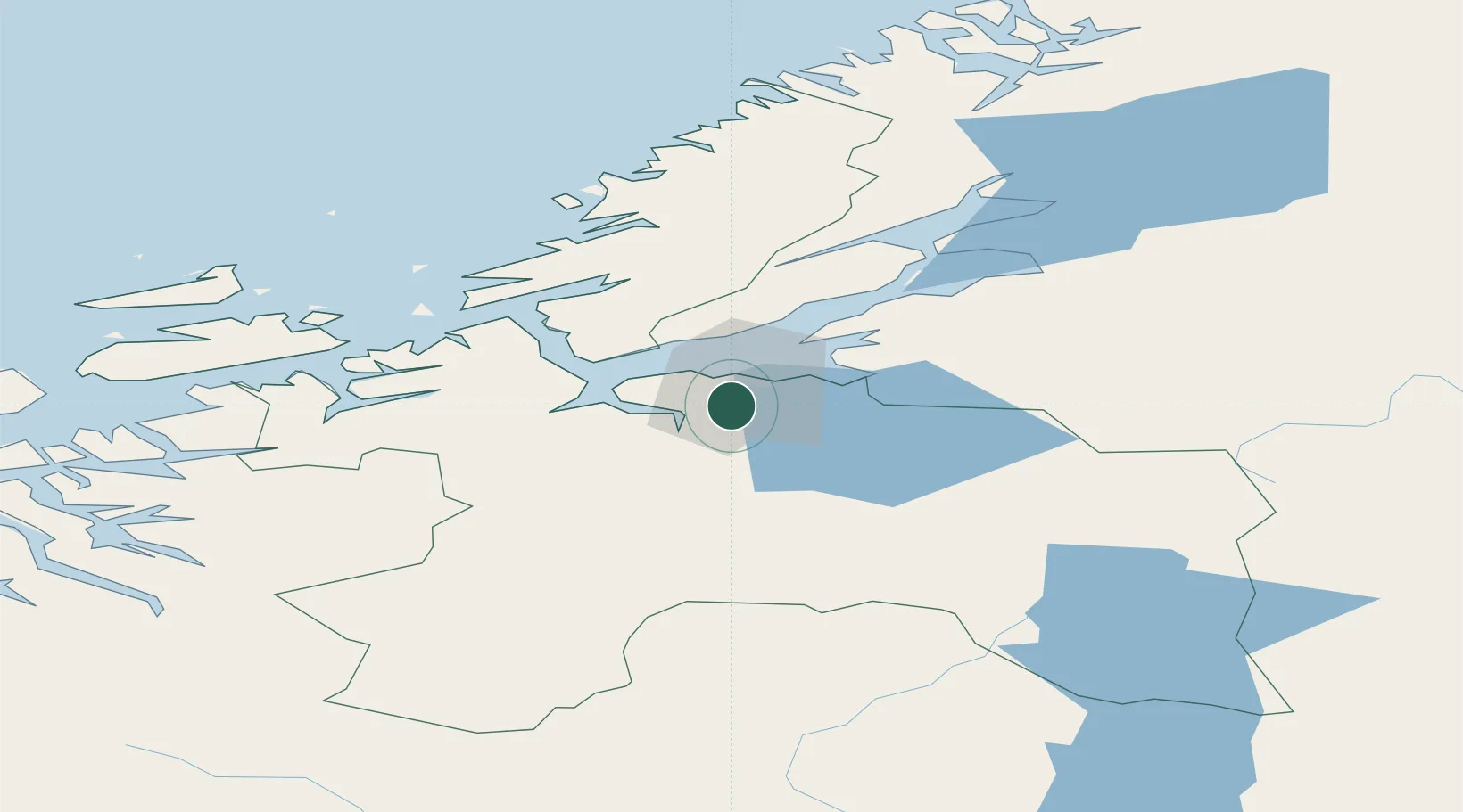
Region
Trøndelag
Time zone
Europe/Oslo
Elevation
110 m
Location
Nearby Logistics Neighbours
Ports
- 1Trondheim11 km
- 2Hommelvik20 km
- 3Muruvik23 km
- 4Langstein32 km
- 5Fiborgtangen54 km
Airports
- 1Trondheim Airport, Værnes27 km
- 2Ørland Airport57 km
- 3Røros Airport97 km
- 4Kristiansund Airport, Kvernberget133 km
- 5Namsos Airport137 km
Trade Zones
DatabookThe Record of Consolidated Knowledge
Norway beyond logistics?