Transport Functions
Port
Hub Profile
Region
20
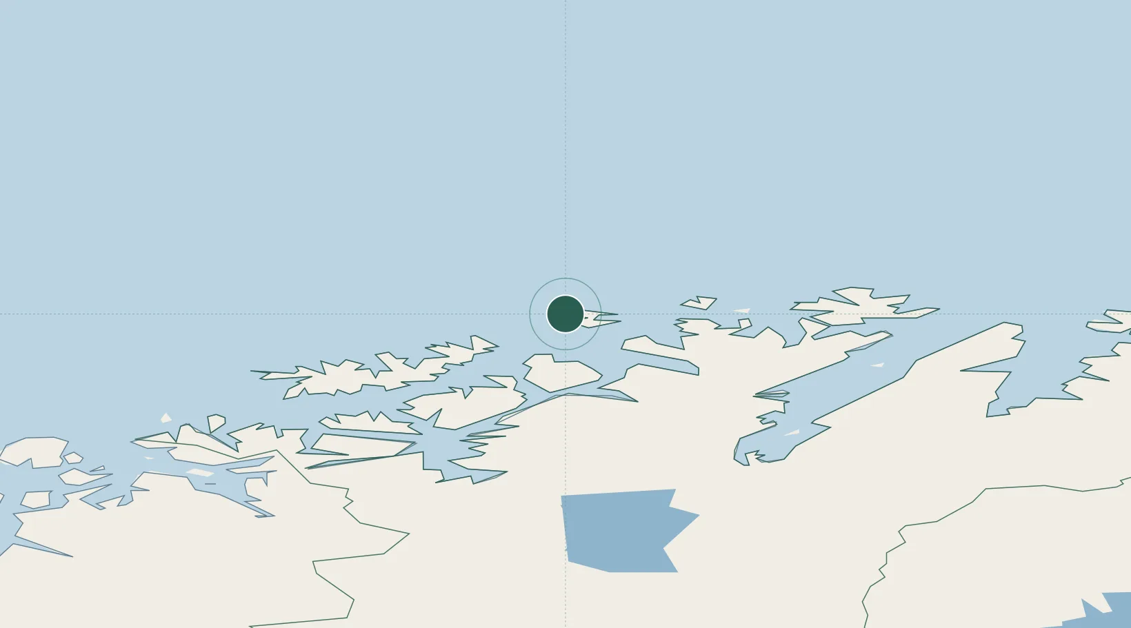
Location
Nearby Logistics Neighbours
Cities
- 1Ingøy11 km
- 2Havøysund28 km
- 3Akkarfjord29 km
- 4Forsøl32 km
- 5Snefjord33 km
Ports
- 1Hammerfest38 km
- 2Kvalsund55 km
- 3Honningsvag74 km
- 4Sorvaer82 km
- 5Oksfjord103 km
Airports
- 1Hammerfest Airport37 km
- 2Honningsvåg Airport, Valan75 km
- 3Hasvik Airport86 km
- 4Lakselv Airport, Banak111 km
- 5Alta Airport116 km
Trade Zones
- 1Murmansk Special Economic Zone416 km
- 2Oulu Port Free Warehouse Area670 km
- 3Free Zone of Lappeenranta1123 km
- 4Turku Free Zone1176 km
- 5Port of Hamina-Kotka1179 km
DatabookThe Record of Consolidated Knowledge
Norway beyond logistics?